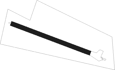
Rawtenstall - Rossendale
Airport details
| Country | United Kingdom |
| State | England |
| Region | |
| Airspace | London Ctr |
| Municipality | Borough of Rossendale |
| Elevation | 974ft (297m) |
| Timezone | GMT +0 |
| Coordinates | 53.72445, -2.25828 |
| Magnetic var | |
| Type | land |
| Available since | X-Plane v10.40 |
| ICAO code | XEG002S |
| IATA code | n/a |
| FAA code | n/a |
Communication
Nearby beacons
| code | identifier | dist | bearing | frequency |
|---|---|---|---|---|
| POL | POLE HILL VOR/DME | 5.6 | 83° | 112.10 |
| WTN | WARTON NDB | 21.1 | 273° | 337 |
| MCT | MANCHESTER VOR/DME | 22 | 181° | 113.55 |
| WTN | WARTON TACAN | 22.2 | 272° | 113.20 |
| LBA | LEEDS BRADFORD NDB | 23 | 77° | 402 |
| BPL | BLACKPOOL NDB | 27.4 | 274° | 318 |
| LPL | LIVERPOOL NDB | 28.4 | 230° | 349 |
| WHI | WHITEGATE NDB | 34.9 | 214° | 368 |
| WAL | WALLASEY VOR/DME | 37 | 249° | 114.10 |
| HAW | HAWARDEN NDB | 41.6 | 233° | 340 |
| LEE | LEEMING TACAN | 42.7 | 52° | 112.60 |
| TNT | TRENT VOR/DME | 45.4 | 139° | 115.70 |
| TNL | TATENHILL NDB | 57.4 | 152° | 327 |
| SWB | SHAWBURY VOR/DME | 57.5 | 204° | 116.80 |
| DUF | DUN FELL DME | 57.9 | 349° | 115.25 |
| TD | TEESSIDE INTL NDB | 59.8 | 48° | 347 |
| EMW | EAST MIDLANDS NDB | 61 | 138° | 393 |
Disclaimer
The information on this website is not for real aviation. Use this data with the X-Plane flight simulator only! Data taken with kind consent from X-Plane 12 source code and data files. Content is subject to change without notice.
