Red Deer - Red Deer Truant South
Airport details
| Country | Canada |
| State | Alberta |
| Region | CY |
| Airspace | Edmonton Ctr |
| Municipality | Red Deer County |
| Elevation | 3100ft (945m) |
| Timezone | GMT -7 |
| Coordinates | 52.27785, -113.91522 |
| Magnetic var | |
| Type | land |
| Available since | X-Plane v10.40 |
| ICAO code | XC0074 |
| IATA code | n/a |
| FAA code | n/a |
Communication
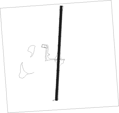
Runway info
| Runway 01 / 19 | ||
| length | 658m (2159ft) | |
| bearing | 12° / 192° | |
| width | 15m (50ft) | |
| surface | grass | |
Nearby beacons
| code | identifier | dist | bearing | frequency |
|---|---|---|---|---|
| 6G | DEER DME | 5.9 | 161° | 113.80 |
| YQF | RED DEER NDB | 8.9 | 174° | 320 |
| D3 | PONOKA INDUS NDB | 26.8 | 37° | 363 |
| K2 | OLDS-DIDSBURY NDB | 34.8 | 199° | 376 |
| 9G | SUNDRE NDB | 41.2 | 237° | 405 |
| YEG | EDMONTON VOR/DME | 54.5 | 3° | 117.60 |
| ZZD | CALMAR (EDMONTON) NDB | 59.3 | 15° | 308 |
| ZAB | LEDUC (EDMONTON) NDB | 59.9 | 24° | 215 |
Disclaimer
The information on this website is not for real aviation. Use this data with the X-Plane flight simulator only! Data taken with kind consent from X-Plane 12 source code and data files. Content is subject to change without notice.