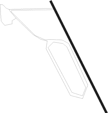
Jackson - Melody Ranch
Airport details
| Country | United States of America |
| State | Wyoming |
| Region | |
| Airspace | Salt Lake City Ctr |
| Municipality | Teton County |
| Elevation | 6075ft (1852m) |
| Timezone | GMT -7 |
| Coordinates | 43.41438, -110.77495 |
| Magnetic var | |
| Type | land |
| Available since | X-Plane v10.40 |
| ICAO code | WY31 |
| IATA code | n/a |
| FAA code | WY31 |
Communication
Nearby Points of Interest:
Miller Cabin
-Upper Granite Canyon Patrol Cabin
-Murie Residence
-White Grass Ranger Station Historic District
-White Grass Dude Ranch
-Menor's Ferry
-Andy Chambers Ranch Historic District
-4 Lazy F Dude Ranch
-Mormon Row Historic District
-Old Administrative Area Historic District
-Bar B C Dude Ranch
-Hunter Hereford Ranch Historic District
-Highlands Historic District
-Geraldine Lucas Homestead-Fabian Place Historic District
-Victor Railroad Depot
-Jenny Lake CCC Camp NP-4
-Reimer's Cabin
-Jenny Lake Boat Concession Facilities
-Jenny Lake Ranger Station
-Jenny Lake Ranger Station Historic District
-Cascade Canyon Barn
-Spud Drive-In Theater
-Triangle X Barn
-Teton County Courthouse
-Cunningham Cabin
Nearby beacons
| code | identifier | dist | bearing | frequency |
|---|---|---|---|---|
| JAC | JACKSON VOR/DME | 12.5 | 12° | 115.40 |
| DNW | DUNOIR VOR/DME | 31.3 | 47° | 117.20 |
| PNA | WENZ (PINEDALE) NDB | 56.5 | 123° | 392 |
| BPI | BIG PINEY VOR/DME | 58 | 141° | 116.50 |
Disclaimer
The information on this website is not for real aviation. Use this data with the X-Plane flight simulator only! Data taken with kind consent from X-Plane 12 source code and data files. Content is subject to change without notice.