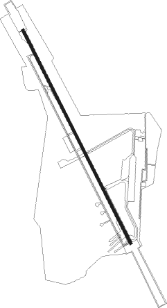
Amritsar
Airport details
| Country | India |
| State | Punjab |
| Region | VI |
| Airspace | Delhi Ctr |
| Municipality | Ajnala Tahsil |
| Elevation | 753ft (230m) |
| Timezone | GMT +5.5 |
| Coordinates | 31.70472, 74.80194 |
| Magnetic var | |
| Type | land |
| Available since | X-Plane v10.32 |
| ICAO code | VIAR |
| IATA code | ATQ |
| FAA code | n/a |
Communication
| AMRITSAR Tower | 119.700 |
| AMRITSAR Tower | 124.350 |
| AMRITSAR Approach | 119.700 |
Approach frequencies
| ILS-cat-III | RW34 | 109.5 | 18.00mi |
| 3° GS | RW34 | 109.5 | 18.00mi |
Nearby Points of Interest:
Lahore Fort
-Fort and Shalamar Gardens in Lahore
-Harike Wetland
Nearby beacons
| code | identifier | dist | bearing | frequency |
|---|---|---|---|---|
| AR | AMRITSAR NDB | 1 | 161° | 351 |
| AAR | AMRITSAR VOR/DME | 1.6 | 325° | 115.50 |
| LA | LAHORE VOR/DME | 23.3 | 245° | 112.70 |
| LA | LAHORE NDB | 23.4 | 246° | 268 |
| LO | LAHORE NDB | 25.7 | 237° | 338 |
| SP | SHEIKHUPURA NDB | 41 | 270° | 317 |
| PK | PATHANKOT NDB | 53.1 | 57° | 393 |
| SLT | SIALKOT VOR/DME | 54.1 | 331° | 113.80 |
| JJU | JAMMU VOR/DME | 59.3 | 2° | 113.30 |
Disclaimer
The information on this website is not for real aviation. Use this data with the X-Plane flight simulator only! Data taken with kind consent from X-Plane 12 source code and data files. Content is subject to change without notice.