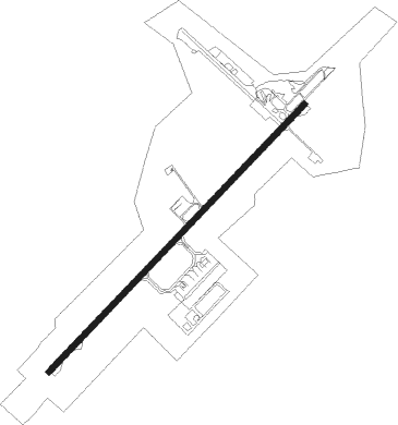
Chittagong - Shah Amanat Intl
Airport details
| Country | Bangladesh |
| State | Chattogram Division |
| Region | VG |
| Airspace | Dhaka Ctr |
| Municipality | Chattogram |
| Elevation | 12ft (4m) |
| Timezone | GMT +6 |
| Coordinates | 22.24524, 91.81324 |
| Magnetic var | |
| Type | land |
| Available since | X-Plane v10.40 |
| ICAO code | VGEG |
| IATA code | CGP |
| FAA code | n/a |
Communication
| Shah Amanat Intl ATIS | 127.600 |
| Shah Amanat Intl CHITTAGONG Ground Control | 121.800 |
| Shah Amanat Intl CHITTAGONG Tower | 118.700 |
Approach frequencies
| ILS-cat-I | RW23 | 110.5 | 18.00mi |
| 3° GS | RW23 | 110.5 | 18.00mi |
Nearby beacons
| code | identifier | dist | bearing | frequency |
|---|---|---|---|---|
| CTG | CHATTOGRAM VOR/DME | 1 | 49° | 113.40 |
| CB | COX'S BAZAR NDB | 48.3 | 169° | 396 |
Instrument approach procedures
| runway | airway (heading) | route (dist, bearing) |
|---|---|---|
| RW05 | LASAK (16°) | LASAK 4000ft ELNIX (6mi, 316°) 1500ft |
| RW05 | RIMPI (84°) | RIMPI 3500ft ELNIX (6mi, 136°) 1500ft |
| RNAV | ELNIX 1500ft MUKTI (4mi, 50°) 1500ft VGEG (5mi, 53°) 64ft (5506mi, 256°) 1800ft ARAKU (5509mi, 76°) 3500ft ARAKU (turn) 3500ft | |
| RW23 | BENRO (230°) | BENRO 4000ft OLRIN (6mi, 230°) 1800ft |
| RW23 | IPRAX (259°) | IPRAX 3500ft OLRIN (6mi, 316°) 1800ft |
| RW23 | KAFCO (198°) | KAFCO 3500ft OLRIN (6mi, 136°) 1800ft |
| RNAV | OLRIN 1800ft KANIA (4mi, 230°) 1800ft VGEG (6mi, 229°) 64ft (5506mi, 256°) 1800ft ARAKU (5509mi, 76°) 3500ft ARAKU (turn) 3500ft |
Disclaimer
The information on this website is not for real aviation. Use this data with the X-Plane flight simulator only! Data taken with kind consent from X-Plane 12 source code and data files. Content is subject to change without notice.