Cáceres - Pantanal Hotel Baiazinha
Airport details
| Country | Brazil |
| State | Mato Grosso |
| Region | |
| Airspace | Amazonica Ctr |
| Municipality | Cáceres |
| Elevation | 674ft (205m) |
| Timezone | GMT -4 |
| Coordinates | -16.56909, -57.83122 |
| Magnetic var | |
| Type | land |
| Available since | X-Plane v10.40 |
| ICAO code | SWWF |
| IATA code | n/a |
| FAA code | n/a |
Communication
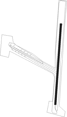
Runway info
Runway 01 / 19  | ||
| length | 846m (2776ft) | |
| bearing | 9° / 189° | |
| width | 20m (66ft) | |
| surface | dirt | |
| Runway 02 / 20 | ||
| length | 1602m (5256ft) | |
| bearing | 26° / 206° | |
| width | 50m (164ft) | |
Nearby beacons
| code | identifier | dist | bearing | frequency |
|---|---|---|---|---|
| SMT | SAN MATIAS NDB | 34.9 | 293° | 330 |
| SMT | SAN MATIAS NDB | 35.6 | 293° | 330 |
Disclaimer
The information on this website is not for real aviation. Use this data with the X-Plane flight simulator only! Data taken with kind consent from X-Plane 12 source code and data files. Content is subject to change without notice.