Atalaia Do Norte - Palmeiras Do Javari
Airport details
| Country | Brazil |
| State | Amazonas |
| Region | SB |
| Airspace | Amazonica Ctr |
| Municipality | Atalaia do Norte |
| Elevation | 394ft (120m) |
| Timezone | GMT -5 |
| Coordinates | -5.13028, -72.80556 |
| Magnetic var | |
| Type | land |
| Available since | X-Plane v10.40 |
| ICAO code | SWJV |
| IATA code | n/a |
| FAA code | n/a |
Communication
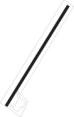
Runway info
| Runway 05 / 23 | ||
| length | 1251m (4104ft) | |
| bearing | 36° / 216° | |
| width | 30m (98ft) | |
| surface | asphalt | |
Disclaimer
The information on this website is not for real aviation. Use this data with the X-Plane flight simulator only! Data taken with kind consent from X-Plane 12 source code and data files. Content is subject to change without notice.