Trarivi - San Marino Aeroclub
Airport details
| Country | San Marino |
| State | [Other] |
| Region | |
| Airspace | Milan Ctr |
| Municipality | Domagnano |
| Elevation | 787ft (240m) |
| Timezone | GMT +1 |
| Coordinates | 43.95181, 12.51019 |
| Magnetic var | |
| Type | land |
| Available since | X-Plane v10.40 |
| ICAO code | SMTO |
| IATA code | n/a |
| FAA code | n/a |
Communication
| San Marino Aeroclub San Marino Radio | 118.075 |
Nearby Points of Interest:
Pieve di San Salvatore
-Tempietto of Sant'Antonio, Rimini
-San Michele Arcangelo
-Palazzo del Podestà
-oratorio della Crocina
-San Biagio Church
-Museum of Saludecio and Blessed Amato
-Santa Lucia
-Roman bridge on Rubicone River
-Chiesa di San Pio V
-Rocca Ubaldinesca
-Fondazione Tito Balestra
-Rubicon
-Palazzo Albani
-Palazzo del Collegio Raffaello
-Albani Diocesan Museum of Urbino
-Palazzo Municipale
-Palazzo Odasi
-Palazzo Bonaventura
-Teatro Comunale
-Porta Santi
-Palazzo Ghini
-Palazzo Comunale (Cesena)
-Palazzo del Ridotto
-Diocesan museum of sacred art
Runway info
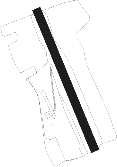
| Runway 16 / 34 | ||
| length | 475m (1558ft) | |
| bearing | 156° / 336° | |
| width | 28m (90ft) | |
| surface | grass | |
Nearby beacons
| code | identifier | dist | bearing | frequency |
|---|---|---|---|---|
| RIM | RIMINI VORTAC | 5.9 | 59° | 116.20 |
| RMN | (RIMINI) DME | 6.1 | 60° | 108.80 |
| RIM | RIMINI NDB | 7.6 | 358° | 335 |
| CEV | CERVIA TACAN | 16.6 | 329° | 113.60 |
| FOL | FORLI VOR/DME | 23.9 | 299° | 115.75 |
| FAL | FALCONARA (ANCONA) TACAN | 40.9 | 115° | 109.80 |
| FAL | FALCONARA (ANCONA) NDB | 42.1 | 111° | 357 |
| ANC | ANCONA VOR/DME | 47 | 111° | 110.65 |
| PRU | PERUGIA NDB | 51 | 180° | 398 |
Disclaimer
The information on this website is not for real aviation. Use this data with the X-Plane flight simulator only! Data taken with kind consent from X-Plane 12 source code and data files. Content is subject to change without notice.