Santa Ana Del Yacuma
Airport details
| Country | Bolivia |
| State | Beni |
| Region | SL |
| Airspace | La Paz Ctr |
| Municipality | Santa Ana del Yacuma |
| Elevation | 472ft (144m) |
| Timezone | GMT -4 |
| Coordinates | -13.76167, -65.43472 |
| Magnetic var | |
| Type | land |
| Available since | X-Plane v10.40 |
| ICAO code | SLSA |
| IATA code | SBL |
| FAA code | n/a |
Communication
| Santa Ana del Yacuma Santa Ana Tower | 118.300 |
Runway info
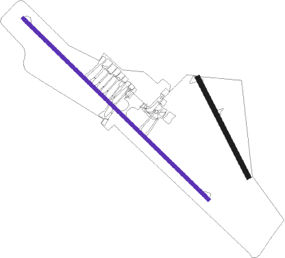
Runway 15 / 33  | ||
| length | 653m (2142ft) | |
| bearing | 157° / 337° | |
| width | 30m (98ft) | |
| surface | dirt | |
| Runway 14 / 32 | ||
| length | 1531m (5023ft) | |
| bearing | 138° / 318° | |
| width | 21m (69ft) | |
| surface | asphalt | |
Nearby beacons
| code | identifier | dist | bearing | frequency |
|---|---|---|---|---|
| ANA | SANTA ANA NDB | 0.1 | 114° | 345 |
Disclaimer
The information on this website is not for real aviation. Use this data with the X-Plane flight simulator only! Data taken with kind consent from X-Plane 12 source code and data files. Content is subject to change without notice.