Río Frío
Airport details
| Country | Chile |
| State | Los Lagos Region |
| Region | SC |
| Airspace | Puerto Montt Ctr |
| Municipality | Cochamó |
| Elevation | 1000ft (305m) |
| Timezone | GMT -3 |
| Coordinates | -41.73972, -71.91167 |
| Magnetic var | |
| Type | land |
| Available since | X-Plane v10.40 |
| ICAO code | SCRI |
| IATA code | n/a |
| FAA code | n/a |
Communication
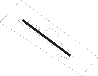
Runway info
| Runway 12 / 30 | ||
| length | 560m (1837ft) | |
| bearing | 123° / 303° | |
| width | 20m (66ft) | |
| surface | gravel | |
Nearby beacons
| code | identifier | dist | bearing | frequency |
|---|---|---|---|---|
| OB | SAN CARLOS DE BARILOCHE NDB | 47.8 | 47° | 330 |
| BAR | SAN CARLOS DE BARILOCHE VOR/DME | 48.5 | 50° | 117.40 |
| B | BRAVO (S C DE BARILOCHE) NDB | 48.6 | 51° | 305 |
Disclaimer
The information on this website is not for real aviation. Use this data with the X-Plane flight simulator only! Data taken with kind consent from X-Plane 12 source code and data files. Content is subject to change without notice.