Ambler
Airport details
| Country | United States of America |
| State | Alaska |
| Region | PA |
| Municipality | Ambler |
| Elevation | 333ft (101m) |
| Timezone | GMT -9 |
| Coordinates | 67.10641, -157.85750 |
| Magnetic var | |
| Type | land |
| Available since | X-Plane v10.32 |
| ICAO code | PAFM |
| IATA code | ABL |
| FAA code | AFM |
Communication
| Ambler AWOS | 122.000 |
| Ambler CTAF | 122.700 |
Nearby Points of Interest:
Onion Portage Archeological District
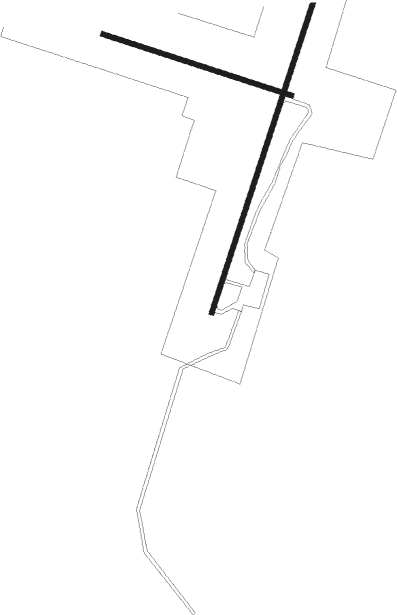
Runway info
Runway 01 / 19  | ||
| length | 1216m (3990ft) | |
| bearing | 47° / 227° | |
| width | 18m (59ft) | |
| surface | gravel | |
| blast zone | 73m (240ft) / 73m (240ft) | |
| Runway 10 / 28 | ||
| length | 729m (2392ft) | |
| bearing | 99° / 279° | |
| width | 18m (59ft) | |
| surface | gravel | |
| blast zone | 73m (240ft) / 73m (240ft) | |
Nearby beacons
| code | identifier | dist | bearing | frequency |
|---|---|---|---|---|
| AMF | AMBLER NDB | 0 | 246° | 403 |
Instrument approach procedures
| runway | airway (heading) | route (dist, bearing) |
|---|---|---|
| RW01 | FELOS (79°) | FELOS RONYE (10mi, 99°) 3600ft |
| RW01 | LOUPS (320°) | LOUPS RONYE (10mi, 279°) 3600ft |
| RW01 | RONYE (46°) | RONYE 6000ft RONYE (turn) 3600ft |
| RNAV | RONYE 3600ft JAKOW (6mi, 47°) 1900ft PAFM (5mi, 46°) 288ft (6674mi, 113°) 1000ft RONYE (6685mi, 293°) 3600ft RONYE (turn) 3600ft |
Disclaimer
The information on this website is not for real aviation. Use this data with the X-Plane flight simulator only! Data taken with kind consent from X-Plane 12 source code and data files. Content is subject to change without notice.