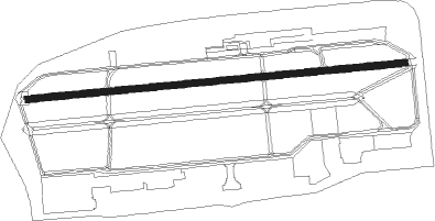
Fairbanks/ft Wainwright - Ladd Army Airfield
Airport details
| Country | United States of America |
| State | Alaska |
| Region | PA |
| Municipality | Fairbanks |
| Elevation | 448ft (137m) |
| Timezone | GMT -9 |
| Coordinates | 64.83368, -147.59587 |
| Magnetic var | |
| Type | land |
| Available since | X-Plane v10.40 |
| ICAO code | PAFB |
| IATA code | FBK |
| FAA code | FBK |
Communication
| Ladd Army Airfield ATIS | 134.250 |
| Ladd Army Airfield CTAF | 125.000 |
| Ladd Army Airfield Ground Control | 121.700 |
| Ladd Army Airfield Tower | 125.000 |
| Ladd Army Airfield FAIRBANKS Approach | 125.350 |
| Ladd Army Airfield FAIRBANKS Approach | 127.100 |
| Ladd Army Airfield FAIRBANKS Departure | 125.350 |
Nearby Points of Interest:
Ladd Army Airfield
-Old Federal Building
-Fairbanks City Hall
-Old City Hall
-Fairbanks Exploration Company Housing
-Fairbanks Exploration Company Manager's House
-Illinois Street Historic District
-Fairbanks Exploration Company Machine Shop
-Masonic Temple
-Oddfellows House
-Falcon Joslin House
-Mary Lee Davis House
-George C. Thomas Memorial Library
-Creamer's Field Migratory Waterfowl Refuge
-Harding Railroad Car
-Wickersham House
-Constitution Hall
-Rainey's Cabin
-Goldstream Dredge No. 8
-Chena Pump House
-Discovery Claim on Pedro Creek
-Ester Camp Historic District
-Chatanika Gold Camp
Nearby beacons
| code | identifier | dist | bearing | frequency |
|---|---|---|---|---|
| CUN | CHENA (FAIRBANKS) NDB | 2.5 | 87° | 257 |
| FAI | FAIRBANKS VORTAC | 10.8 | 265° | 108.60 |
| EIL | EIELSON (FAIRBANKS) TACAN | 16.7 | 110° | 115.10 |
Instrument approach procedures
| runway | airway (heading) | route (dist, bearing) |
|---|---|---|
| RW25 | FIBEX (202°) | FIBEX DISKE (11mi, 95°) 4900ft CALOX (7mi, 179°) 2900ft |
| RW25 | IMARE (312°) | IMARE HOMAT (11mi, 48°) 4000ft CALOX (7mi, 359°) 2900ft |
| RNAV | CALOX 2900ft GINTE (6mi, 270°) 2500ft JAKAB (4mi, 270°) 1260ft PAFB (3mi, 267°) 508ft (6669mi, 114°) 849ft IMARE (6678mi, 294°) 4200ft IMARE (turn) |
Disclaimer
The information on this website is not for real aviation. Use this data with the X-Plane flight simulator only! Data taken with kind consent from X-Plane 12 source code and data files. Content is subject to change without notice.