Claris - Great Barrier
Airport details
| Country | New Zealand |
| State | Auckland |
| Region | NZ |
| Municipality | Aotea Great Barrier |
| Elevation | 41ft (12m) |
| Timezone | GMT +12 |
| Coordinates | -36.24245, 175.46732 |
| Magnetic var | |
| Type | land |
| Available since | X-Plane v10.40 |
| ICAO code | NZGB |
| IATA code | GBZ |
| FAA code | n/a |
Communication
Nearby Points of Interest:
Smelting House ruins
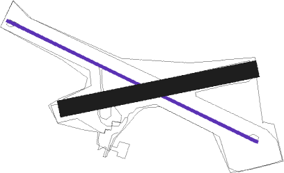
Runway info
| Runway 10 / 28 | ||
| length | 921m (3022ft) | |
| bearing | 115° / 295° | |
| width | 9m (30ft) | |
| surface | asphalt | |
Runway 06 / 24  | ||
| length | 621m (2037ft) | |
| bearing | 84° / 264° | |
| width | 55m (180ft) | |
| surface | grass | |
Nearby beacons
| code | identifier | dist | bearing | frequency |
|---|---|---|---|---|
| CV | CUVIER I. NDB | 19 | 122° | 302 |
| WP | WHENUAPAI (AUCKLAND) VOR/DME | 51.9 | 237° | 116.40 |
| AA | AUCKLAND VOR/DME | 55.5 | 221° | 114.80 |
| SY | SURREY NDB | 61.5 | 197° | 350 |
Instrument approach procedures
| runway | airway (heading) | route (dist, bearing) |
|---|---|---|
| RWNVB | LUVOG (290°) | LUVOG OMGET (4mi, 1°) 2000ft |
| RWNVB | OMGET (272°) | OMGET 2000ft |
| RWNVB | VARSI (254°) | VARSI OMGET (4mi, 181°) 2000ft |
| RNAV | OMGET 2000ft AVKIN (4mi, 271°) 1600ft GB678 (3mi, 271°) 640ft OMGET (7mi, 91°) 2000ft OMGET (turn) 2000ft |
Disclaimer
The information on this website is not for real aviation. Use this data with the X-Plane flight simulator only! Data taken with kind consent from X-Plane 12 source code and data files. Content is subject to change without notice.