Luganville - Santo Pekoa Intl
Airport details
| Country | Vanuatu |
| State | Sanma |
| Region | NV |
| Municipality | Luganville |
| Elevation | 184ft (56m) |
| Timezone | GMT +11 |
| Coordinates | -15.50577, 167.22136 |
| Magnetic var | |
| Type | land |
| Available since | X-Plane v10.40 |
| ICAO code | NVSS |
| IATA code | SON |
| FAA code | n/a |
Communication
| Santo Pekoa Intl CTAF | 118.100 |
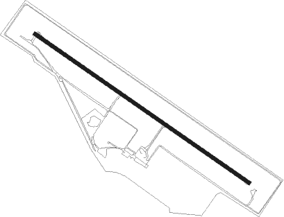
Runway info
| Runway 12 / 30 | ||
| length | 2004m (6575ft) | |
| bearing | 128° / 308° | |
| width | 30m (98ft) | |
| surface | asphalt | |
| blast zone | 55m (180ft) / 59m (194ft) | |
Nearby beacons
| code | identifier | dist | bearing | frequency |
|---|---|---|---|---|
| SON | SANTO NDB | 0.2 | 265° | 412 |
Instrument approach procedures
| runway | airway (heading) | route (dist, bearing) |
|---|---|---|
| RW12 | ESBAN (184°) | ESBAN SS912 (4mi, 323°) 2500ft SS934 (5mi, 235°) 2500ft |
| RNAV | SS934 2500ft SS956 (4mi, 143°) 1450ft NVSS (5mi, 128°) 234ft (9610mi, 275°) 1000ft ESBAN (9614mi, 95°) 2500ft | |
| RW30 | ARAGI (330°) | ARAGI BIGIB (5mi, 20°) 2500ft |
| RW30 | BIGIB (308°) | BIGIB 2500ft |
| RW30 | MALOK (288°) | MALOK BIGIB (5mi, 240°) 2500ft |
| RNAV | BIGIB 2500ft SS443 (5mi, 308°) 1650ft NVSS (5mi, 308°) 162ft BIGIB (10mi, 128°) 2500ft |
Disclaimer
The information on this website is not for real aviation. Use this data with the X-Plane flight simulator only! Data taken with kind consent from X-Plane 12 source code and data files. Content is subject to change without notice.