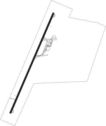
Zacatecas - Gnl Leobardo C Ruiz Intl
Airport details
| Country | Mexico |
| State | Zacatecas |
| Region | MM |
| Airspace | Mexico Ctr |
| Municipality | Morelos |
| Elevation | 7141ft (2177m) |
| Timezone | GMT -6 |
| Coordinates | 22.89837, -102.68275 |
| Magnetic var | |
| Type | land |
| Available since | X-Plane v10.40 |
| ICAO code | MMZC |
| IATA code | ZCL |
| FAA code | n/a |
Communication
| Gnl Leobardo C Ruiz INTL ZACATECAS Tower | 118.000 |
Nearby Points of Interest:
Historic centre of Zacatecas
-sanctuary of Plateros
Nearby beacons
| code | identifier | dist | bearing | frequency |
|---|---|---|---|---|
| ZCL | ZACATECAS VOR/DME | 0.8 | 224° | 117.60 |
Disclaimer
The information on this website is not for real aviation. Use this data with the X-Plane flight simulator only! Data taken with kind consent from X-Plane 12 source code and data files. Content is subject to change without notice.