Nikšić - Niksic
Airport details
| Country | Montenegro |
| State | Nikšić Municipality |
| Region | LY |
| Airspace | Belgrade Ctr |
| Municipality | Nikšić |
| Elevation | 2011ft (613m) |
| Timezone | GMT +1 |
| Coordinates | 42.77432, 18.91514 |
| Magnetic var | |
| Type | land |
| Available since | X-Plane v10.40 |
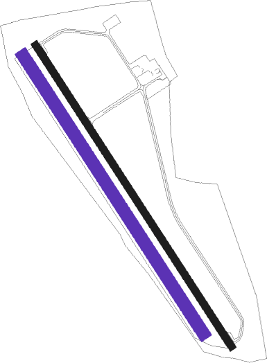
| ICAO code | LYNK |
| IATA code | n/a |
| FAA code | n/a |
Communication
| Niksic Niksic Tower | 127.500 |
Nearby Points of Interest:
Roman bridge Vučija
-Natural and Culturo-Historical Region of Kotor
-Grebnice-Bunčići necropolis
-Fortifications of Kotor
-Dobrićevo Monastery
-Stari Bar
-Mičevac
-Trebinje Transfiguration Cathedral

Nearby beacons
| code | identifier | dist | bearing | frequency |
|---|---|---|---|---|
| NIK | NIKSIC NDB | 0.4 | 77° | 302 |
| DAN | PODGORICA NDB | 16.5 | 138° | 312 |
| RO | TIVAT NDB | 26.5 | 226° | 332 |
| GAC | GACKO NDB | 27.1 | 316° | 370 |
| POD | PODGORICA NDB | 27.6 | 139° | 335 |
| POD | PODGORICA VOR/DME | 27.7 | 139° | 113 |
| GR | GRUDA (DUBROVNIK) NDB | 29.7 | 249° | 414 |
| TAZ | TIVAT NDB | 30 | 193° | 345 |
| MOJ | MOJKOVAC NDB | 30.8 | 76° | 308 |
| DBK | DUBROVNIK VOR/DME | 31.1 | 251° | 115.40 |
| GO | PODGORICA NDB | 32 | 145° | 420 |
| CV | CAVTAT (DUBROVNIK) NDB | 33 | 255° | 397 |
| KLP | KOLOCEP NDB | 39.9 | 263° | 318 |
Disclaimer
The information on this website is not for real aviation. Use this data with the X-Plane flight simulator only! Data taken with kind consent from X-Plane 12 source code and data files. Content is subject to change without notice.