Airports for X-Plane offers a convenient way to explore airports and their related communication information for the X-Plane flight simulator. It only uses data from the X-Plane flight simulator itself, and is therefore more reliable than the data that comes from real aviation websites. You can search for airports by using the ICAO code, or browse for airports per country and state. The information displayed is categorized by airport details, runway information, airport communication, approach frequencies (ILS and Glidepath details), details of nearby beacons, SIDs, STARs and approach procedures.

gravel seaplanes faa airdrome corporation metro public transport airport apron control tower airport terminal flight train station air safety local government heliport train kennedy aircraft carrier helicopters runway lighting

Bor

Airport details

CountrySerbia
StateCentral Serbia
RegionLY
AirspaceBelgrade Ctr
MunicipalityCity of Bor
Elevation1266ft (386m)
TimezoneGMT +1
Coordinates44.01835, 22.13720
Magnetic var
Typeland
Available sinceX-Plane v11.00
ICAO codeLYBO
IATA coden/a
FAA coden/a

Communication

BOR INFO123.500
Nearby Points of Interest:
Grlište Monastery
-
Monastery Krepičevac
-
Rudna Glava
-
Albotin Monastery
-
Celliers de Rajac
-
Celliers de Štubik
-
Old Church of Saint Mary in Negotin
-
église de la Dormition-de-la-Mère-de-Dieu de Jošanica
-
église de la Transfiguration de Sokobanja

Runway info

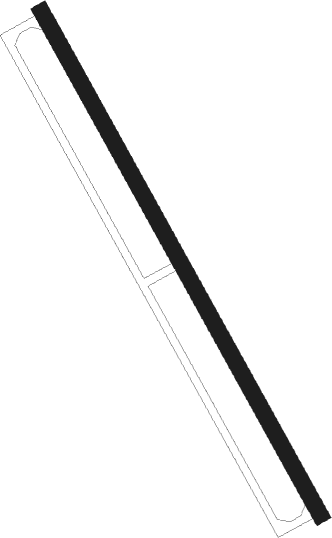
Runway 15 / 33
 length1062m (3484ft)
 bearing148° / 328°
 width30m (98ft)
 surfaceasphalt

Airport layout


Nearby beacons

codeidentifierdistbearingfrequency
JSTNIS NDB41.8220°405
NIINIS VOR/DME42.7203°113.90
NSNIS NDB45204°255
ZONIS NDB53.2206°423
POZPOZAREVAC NDB55.8301°416
BLCBLACE NDB57.2225°377

Disclaimer

The information on this website is not for real aviation. Use this data with the X-Plane flight simulator only! Data taken with kind consent from X-Plane 12 source code and data files. Content is subject to change without notice.