Liberec
Airport details
| Country | Czechia |
| State | Northeast |
| Region | LK |
| Airspace | Prague Ctr |
| Municipality | Liberec |
| Elevation | 1328ft (405m) |
| Timezone | GMT +1 |
| Coordinates | 50.76833, 15.02500 |
| Magnetic var | |
| Type | land |
| Available since | X-Plane v10.40 |
| ICAO code | LKLB |
| IATA code | n/a |
| FAA code | n/a |
Communication
| Liberec INFO | 122.600 |
Nearby Points of Interest:
Vazební věznice Liberec
-Šolcův dům
-Valdštejnské domky (Liberec)
-Obchodní dům Baťa (Liberec)
-Brouk a Babka
-Liberec Town Hall
-Meteorological column in Liberec
-Krematorium Liberec
-Rumjancevova 3
-Church of Saint Catherine of Alexandria
-Protestant church in Liberec
-Jewish cemetery in Liberec
-Kaiser Franz Joseph I. Bad
-křížová cesta v Ruprechticích
-Teppich- und Deckenfabrik Ignatz Ginzkey Maffersdorf
-Rectory in Vratislavice nad Nisou
-Church of Our Lady of the Snow
-Church of Saint Christopher (Kryštofovo Údolí)
-Feigl & Widrich factory in Chrastava
-Bell tower in Fojtka
-Former school
-Church of Saint Anne
-Church of the Holy Spirit in Rýnovice
-Saint Nicholas church in Bílý Kostel nad Nisou
-Albrechtice u Frýdlantu - milník
Runway info
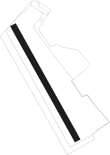
| Runway 16 / 34 | ||
| length | 1053m (3455ft) | |
| bearing | 144° / 324° | |
| width | 50m (164ft) | |
| surface | grass | |
| displ threshold | 153m (502ft) / 0m (0ft) | |
Nearby beacons
| code | identifier | dist | bearing | frequency |
|---|---|---|---|---|
| OKX | FRYDLANT VOR/DME | 8 | 3° | 114.85 |
| HDO | HERMSDORF VOR/DME | 26.6 | 284° | 108.65 |
| NER | NERATOVICE VOR/DME | 28.6 | 225° | 112.25 |
| KD | KBELY NDB | 39.8 | 212° | 300 |
| V | MASLOVICE (VODOCHODY) NDB | 41.2 | 230° | 416 |
| K | KBELY NDB | 42.1 | 216° | 438 |
| L | LIBOC (PRAGUE) NDB | 48.1 | 229° | 372 |
| OKL | PRAGUE VOR/DME | 49.7 | 228° | 112.60 |
| F | CASLAV NDB | 50.2 | 158° | 715 |
| C | CASLAV NDB | 52.6 | 156° | 715 |
| P | PARDUBICE NDB | 53.6 | 135° | 888 |
| CF | CASLAV NDB | 54.2 | 155° | 345 |
| PK | PARDUBICE NDB | 54.5 | 134° | 432 |
| PSK | DME | 70.2 | 225° | 117.60 |
Disclaimer
The information on this website is not for real aviation. Use this data with the X-Plane flight simulator only! Data taken with kind consent from X-Plane 12 source code and data files. Content is subject to change without notice.