Tokorcs
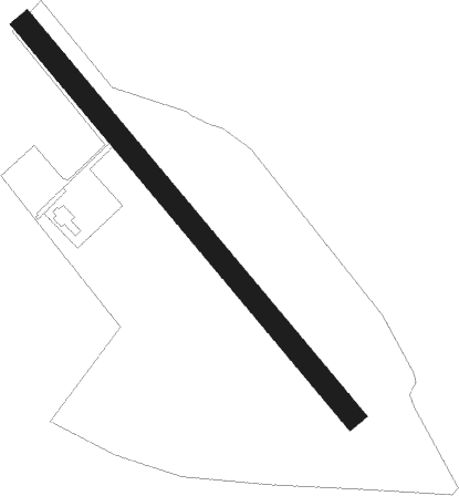
Airport details
| Country | Hungary |
| State | Vas |
| Region | |
| Airspace | Budapest Ctr |
| Municipality | Kemenesmihályfa |
| Elevation | 449ft (137m) |
| Timezone | GMT +1 |
| Coordinates | 47.27206, 17.10877 |
| Magnetic var | |
| Type | land |
| Available since | X-Plane v10.40 |
| ICAO code | LHTK |
| IATA code | n/a |
| FAA code | n/a |
Communication
| Tokorcs UNICOM | 131.100 |
Nearby Points of Interest:
Alsó-Rába-völgy
-Potyondi-mocsár
-Kloster Marienberg, Burgenland
-Schüttkasten Rechnitz
Nearby beacons
| code | identifier | dist | bearing | frequency |
|---|---|---|---|---|
| PCT | PAPA VORTAC | 16.8 | 74° | 114.75 |
| C | PAPA NDB | 16.9 | 74° | 493 |
| P | PAPA NDB | 16.9 | 80° | 493 |
| CP | PAPA NDB | 17 | 70° | 318 |
| PC | PAPA NDB | 17.1 | 84° | 318 |
| GYR | GYOR VOR/DME | 34.1 | 58° | 115.10 |
| SME | SARMELLEK NDB | 36.4 | 175° | 436 |
| SNU | SOLLENAU VOR/DME | 49.1 | 306° | 115.50 |
| BRK | BRUCK NDB | 50 | 334° | 408 |
| OB | STEFANIK SOUTH NDB | 51.1 | 13° | 330 |
| B | BARKA (BRATISLAVA) NDB | 53 | 9° | 438 |
| FMD | FISCHAMEND VOR/DME | 53.6 | 330° | 110.40 |
| JAN | JANOVCE VOR/DME | 57.2 | 26° | 110.80 |
| OKR | STEFANIK NORTH NDB | 57.6 | 11° | 391 |
| VAR | VARAZDIN NDB | 65.1 | 217° | 344 |
| STE | STEINHOF NDB | 66.2 | 317° | 293 |
Disclaimer
The information on this website is not for real aviation. Use this data with the X-Plane flight simulator only! Data taken with kind consent from X-Plane 12 source code and data files. Content is subject to change without notice.