Pécs-pogány
Airport details
| Country | Hungary |
| State | Baranya |
| Region | LH |
| Airspace | Budapest Ctr |
| Municipality | Pogány |
| Elevation | 647ft (197m) |
| Timezone | GMT +1 |
| Coordinates | 45.98917, 18.24222 |
| Magnetic var | |
| Type | land |
| Available since | X-Plane v10.40 |
| ICAO code | LHPP |
| IATA code | PEV |
| FAA code | n/a |
Communication
| Pécs-Pogány Pogány Info | 126.915 |
Approach frequencies
| ILS-cat-I | RW34 | 108.35 | 18.00mi |
| 3° GS | RW34 | 108.35 | 18.00mi |
Nearby Points of Interest:
Early Christian Necropolis of Pécs
-Szerecsen Patikamúzeum
-Zselic
-Béda-Karapancsa
-Zselic National Landscape Protection Area
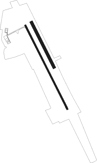
Runway info
Runway 16 / 34  | ||
| length | 1501m (4925ft) | |
| bearing | 149° / 329° | |
| width | 30m (98ft) | |
| surface | asphalt | |
| Runway 16C / 34C | ||
| length | 801m (2628ft) | |
| bearing | 149° / 329° | |
| width | 50m (164ft) | |
| surface | grass | |
Nearby beacons
| code | identifier | dist | bearing | frequency |
|---|---|---|---|---|
| PP | POGANY (PECS) NDB | 1 | 330° | 412 |
| CE | CEPIN NDB | 30.7 | 145° | 372 |
| KLS | DME-ILS | 38.9 | 134° | 109.35 |
| OSJ | OSIJEK NDB | 40.6 | 132° | 422 |
| SVR | SAGVAR VOR/DME | 50.6 | 352° | 117.70 |
| BLK | BANJA LUKA NDB | 67.7 | 228° | 340 |
Instrument approach procedures
| runway | airway (heading) | route (dist, bearing) |
|---|---|---|
| RW16 | PP001 (150°) | PP001 4000ft PP002 (6mi, 42°) 4000ft PP003 (5mi, 329°) 4000ft PP004 (5mi, 254°) 3300ft |
| RNAV | PP004 3300ft PP005 (4mi, 149°) 2700ft LHPP (6mi, 149°) 701ft PP006 (6mi, 149°) 1500ft PP007 (7mi, 293°) 3400ft PP001 (4mi, 58°) 4000ft PP001 (turn) 4000ft | |
| RW34 | PP010 (298°) | PP010 3500ft PP011 (5mi, 254°) 2800ft |
| RW34 | PP020 (10°) | PP020 3500ft PP011 (5mi, 74°) 2800ft |
| RNAV | PP011 2800ft PP012 (4mi, 329°) 2200ft LHPP (5mi, 329°) 690ft PP013 (3mi, 329°) 1100ft PP014 (9mi, 195°) 3000ft PP020 (4mi, 149°) 3500ft |
Disclaimer
The information on this website is not for real aviation. Use this data with the X-Plane flight simulator only! Data taken with kind consent from X-Plane 12 source code and data files. Content is subject to change without notice.