Nyíregyháza
Airport details
| Country | Hungary |
| State | Szabolcs-Szatmár-Bereg |
| Region | LH |
| Airspace | Budapest Ctr |
| Municipality | Nyíregyháza |
| Elevation | 335ft (102m) |
| Timezone | GMT +1 |
| Coordinates | 47.97944, 21.69222 |
| Magnetic var | |
| Type | land |
| Available since | X-Plane v10.40 |
| ICAO code | LHNY |
| IATA code | n/a |
| FAA code | n/a |
Communication
| Nyíregyháza Nyíregyháza INFO | 127.600 |
Nearby Points of Interest:
Tokaj-Bodrogzugi Tájvédelmi Körzet
-Bodrogzug
-Tokaj wine region
-Castle (Borša)
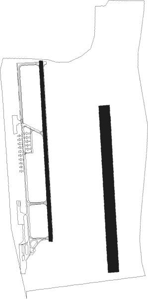
Runway info
Runway 18L / 36R  | ||
| length | 881m (2890ft) | |
| bearing | 182° / 2° | |
| width | 60m (197ft) | |
| surface | grass | |
| Runway 18 / 36 | ||
| length | 1001m (3284ft) | |
| bearing | 182° / 2° | |
| width | 20m (66ft) | |
| surface | asphalt | |
Nearby beacons
| code | identifier | dist | bearing | frequency |
|---|---|---|---|---|
| Y | NYIREGYHAZA 36 NDB | 0.6 | 182° | 346 |
| NYR | NYIREGYHAZA VOR/DME | 0.7 | 2° | 116.10 |
| PQ | NYIREGYHAZA NDB | 1.3 | 2° | 522 |
| NY | NYIREGYHAZA 36 NDB | 4 | 184° | 330 |
| EN | DEBRECEN NDB | 26.7 | 181° | 383 |
| SAG | SAJOHIDVEG VOR/DME | 28 | 272° | 114.40 |
| C | DEBRECEN NDB | 30.5 | 191° | 326 |
| DC | DEBRECEN NDB | 31.8 | 194° | 295 |
| KE | KOSICE NDB | 41.2 | 322° | 425 |
| UO | UZHHOROD NDB | 45.3 | 41° | 645 |
| UZH | DME | 45.3 | 41° | 115.65 |
| KSC | KOSICE VOR/DME | 45.8 | 328° | 108.20 |
| SR | SEREDNIE NDB | 46 | 56° | 690 |
| ORA | ORADEA NDB | 53.6 | 165° | 418 |
| O | ORADEA NDB | 56.7 | 167° | 360 |
| DUB | DME | 57.3 | 346° | 108.65 |
Disclaimer
The information on this website is not for real aviation. Use this data with the X-Plane flight simulator only! Data taken with kind consent from X-Plane 12 source code and data files. Content is subject to change without notice.