Gyúró
Airport details
| Country | Hungary |
| State | Pest |
| Region | LH |
| Airspace | Budapest Ctr |
| Municipality | Gyúró |
| Elevation | 639ft (195m) |
| Timezone | GMT +1 |
| Coordinates | 47.39114, 18.75719 |
| Magnetic var | |
| Type | land |
| Available since | X-Plane v10.40 |
| ICAO code | LHGR |
| IATA code | n/a |
| FAA code | n/a |
Communication
| Gyúró Gyúró INFO | 123.300 |
Nearby Points of Interest:
Béla király 20, Frivaldszky Villa
-Kútvölgyi Úti Oktatókórház
-Saint Catherine of Alexandria Church, Tabán
-Hungária Mill
-Velencei madárrezervátum
-Bécsi út, 56
-Semmelweis University Józsefvárosi Clinical Complex
-Hungarian Institute of Geology and Geophysics
-Jewish Chevra Kadisa Home of Elderly
-Vértesi Tájvédelmi Körzet
-Szentendre Town Hall
-Ócsa Protected Landscape Area
-Upper Kiskunság alkaline steppes
-Sárvíz-völgye Tájvédelmi Körzet
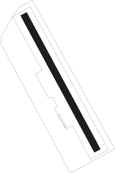
Runway info
| Runway 15 / 33 | ||
| length | 775m (2543ft) | |
| bearing | 147° / 327° | |
| width | 36m (118ft) | |
| surface | grass | |
Nearby beacons
| code | identifier | dist | bearing | frequency |
|---|---|---|---|---|
| PTB | PUSZTASZABOLCS VOR/DME | 14.3 | 184° | 117.10 |
| BUD | BUDAPEST VOR/DME | 20.3 | 83° | 117.30 |
| MNR | MONOR VOR/DME | 26.5 | 95° | 112.50 |
| TPS | TAPIOSAP VOR/DME | 28.6 | 82° | 115.90 |
| SVR | SAGVAR VOR/DME | 42.7 | 229° | 117.70 |
| NT | KECSKEMET NDB | 46.4 | 116° | 313 |
| N | KECSKEMET NDB | 48.2 | 116° | 440 |
| KET | KECSKEMET VORTAC | 48.4 | 116° | 114.15 |
| BUG | BUGAC VOR/DME | 57.1 | 128° | 113.40 |
| NIT | NITRA VOR/DME | 61 | 322° | 116.50 |
Disclaimer
The information on this website is not for real aviation. Use this data with the X-Plane flight simulator only! Data taken with kind consent from X-Plane 12 source code and data files. Content is subject to change without notice.