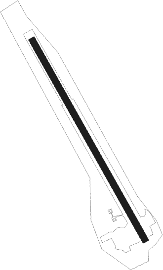
Verdun - Megeve
Airport details
| Country | France |
| State | Auvergne-Rhône-Alpes |
| Region | LF |
| Airspace | Marseille Ctr |
| Municipality | Megève |
| Elevation | 4829ft (1472m) |
| Timezone | GMT +1 |
| Coordinates | 45.82080, 6.65024 |
| Magnetic var | |
| Type | land |
| Available since | X-Plane v10.40 |
| ICAO code | LFHM |
| IATA code | MVV |
| FAA code | n/a |
Communication
| Megeve CTAF | 132.050 |
Nearby Points of Interest:
chaire à prêcher à Beaufort
-Mont Blanc massif
-Ancien presbytère de Chamonix-Mont-Blanc
-chaîne du Bargy
-site de Morette
-château de Montanier
-Château de Châteauvieux
-Château de La Roche-sur-Foron
-Les Marais de Saint-Jorioz
-Maison de Mosse
-Grand séminaire d'Annecy
-Haras national d'Annecy
-meulières du Mont Vouan
-Bourg-Saint-Pierre
-Liddes
-Pont Royal de Chamousset
-Centro di documentazione sulla resistenza
-Lanterne des morts, Nonglard
-Museo della fontina e centro visitatori
Nearby beacons
| code | identifier | dist | bearing | frequency |
|---|---|---|---|---|
| AT | ANNECY NDB | 26.4 | 274° | 384 |
| SCS | AOSTA VOR/DME | 29.1 | 96° | 109.25 |
| GVA | GENEVA VOR/DME | 33.8 | 310° | 115.75 |
| PAS | PASSEIRY VOR/DME | 34 | 298° | 116.60 |
| CH | CHAMBERY NDB | 34.9 | 253° | 346 |
| SIO | SION VOR/DME | 35.6 | 58° | 112.15 |
| CBY | CHAMBERY VOR/DME | 37.5 | 274° | 115.40 |
| GLA | GLAND NDB | 39.1 | 325° | 375 |
| SPR | ST PREX VOR/DME | 39.8 | 343° | 113.90 |
| LAP | PRAZ DME | 52.3 | 345° | 110.65 |
| CSL | CASELLE VOR/DME | 55.4 | 121° | 116.75 |
| FRI | FRIBOURG VOR/DME | 62.1 | 31° | 110.85 |
Disclaimer
The information on this website is not for real aviation. Use this data with the X-Plane flight simulator only! Data taken with kind consent from X-Plane 12 source code and data files. Content is subject to change without notice.