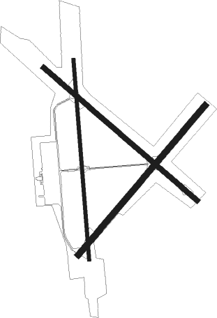
Ball - Pollock Muni
Airport details
| Country | United States of America |
| State | Louisiana |
| Region | K4 |
| Airspace | Houston Oceanic Ctr |
| Municipality | Pollock |
| Elevation | 211ft (64m) |
| Timezone | GMT -6 |
| Coordinates | 31.47747, -92.46117 |
| Magnetic var | |
| Type | land |
| Available since | X-Plane v10.40 |
| ICAO code | L66 |
| IATA code | n/a |
| FAA code | n/a |
Communication
| Pollock Muni UNICOM | 122.800 |
Nearby Points of Interest:
Tioga Commissary
-Central Louisiana State Hospital Dairy Barn
-Bailey's Dam
-Cottingham House
-Alexandria Hall
-Mt. Olivet Episcopal Church and Cemetery
-Fort Randolph
-Hemenway Furniture Co. Building
-Rapides Bank and Trust Company Building
-C.A. Schnack Jewelry Company Store
-First Methodist Church
-Commercial Building
-Masonic Building
-United States Post Office and Courthouse–Alexandria
-James Wade Bolton House
-Arna Wendell Bontemps House
-Bland House
-Kent Plantation House
-Alexandria Garden District
-Eden
-Mayer Hirsch House
-Alexander State Forest Headquarters Building
-Lecompte High School
-Kate Chopin House
-Jones House

Nearby beacons
| code | identifier | dist | bearing | frequency |
|---|---|---|---|---|
| AEX | ALEXANDRIA VORTAC | 13.4 | 190° | 116.10 |
| SWB | SAWMILL (WINNFIELD) VOR/DME | 31.7 | 336° | 113.75 |
| OOC | NATCHITOCHES NDB | 33.3 | 286° | 407 |
| FXU | POLK (FORT POLK) VOR | 44.6 | 244° | 108.40 |
| ECY | DURALDE (EUNICE) NDB | 55.1 | 179° | 263 |
| ML | SABAR (MONROE) NDB | 61.4 | 20° | 392 |
| DXB | DE RIDDER NDB | 62.5 | 230° | 385 |
Disclaimer
The information on this website is not for real aviation. Use this data with the X-Plane flight simulator only! Data taken with kind consent from X-Plane 12 source code and data files. Content is subject to change without notice.