Connellsville
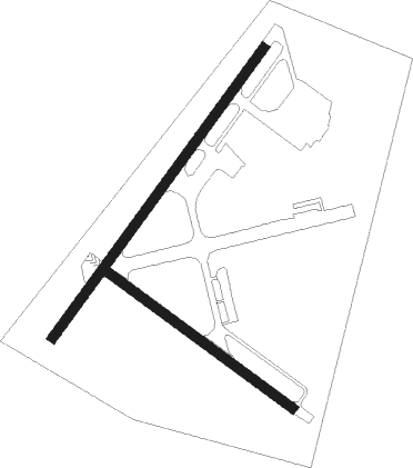
Airport details
| Country | United States of America |
| State | Pennsylvania |
| Region | K6 |
| Airspace | Cleveland Ctr |
| Municipality | Dunbar Township |
| Elevation | 1267ft (386m) |
| Timezone | GMT -5 |
| Coordinates | 39.95906, -79.65742 |
| Magnetic var | |
| Type | land |
| Available since | X-Plane v10.40 |
| ICAO code | KVVS |
| IATA code | n/a |
| FAA code | VVS |
Communication
| Connellsville AWOS-3 | 133.325 |
| Connellsville CTAF/UNICOM | 122.800 |
Approach frequencies
| LOC | RW05 | 110.7 | 18.00mi |
Nearby Points of Interest:
Isaac Meason House
-Connellsville Union Passenger Depot
-Connellsville Armory
-John S. Douglas House
-United States Post Office
-Carnegie Free Library
-Dr. J.C. McClenathan House and Office
-Uniontown Downtown Historic District
-Colonial National Bank Building
-Gallatin School
-Adam Clarke Nutt Mansion
-John P. Conn House
-Dawson Historic District
-Cochran Memorial United Methodist Church
-Hopwood-Miller Tavern
-Linden Hall at Saint James Park
-Josiah Frost House
-Downer Tavern
-Abel Colley Tavern
-Johnson-Hatfield Tavern
-Star Junction Historic District
-Wharton Furnace
-Peter Colley Tavern and Barn
-Francis Farm Petroglyphs
-Kentuck Knob

Nearby beacons
| code | identifier | dist | bearing | frequency |
|---|---|---|---|---|
| VV | CAMOR (CONNELLSVILLE) NDB | 6 | 229° | 299 |
| IHD | INDIAN HEAD VORTAC | 13.7 | 87° | 108.20 |
| MGW | MORGANTOWN VOR/DME | 25.9 | 207° | 111.60 |
| AGC | ALLEGHENY (PITTSBURGH) VOR/DME | 26 | 310° | 110 |
| GRV | DME | 34.1 | 118° | 112.30 |
| SYS | STOYSTOWN (SOMERSET) NDB | 34.9 | 80° | 209 |
| MMJ | (PITTSBURGH) DME | 40.1 | 315° | 112 |
| JST | JOHNSTOWN VOR/DME | 43.4 | 67° | 113 |
| HLG | WHEELING VOR/DME | 45.5 | 288° | 112.20 |
| CKB | CLARKSBURG VOR/DME | 50.9 | 221° | 112.60 |
| ESL | KESSEL VOR/DME | 53.8 | 138° | 110.80 |
| REC | REVLOC VOR/DME | 54.6 | 57° | 110.60 |
| EWC | ELLWOOD CITY VOR/DME | 57.8 | 327° | 115.80 |
Instrument approach procedures
| runway | airway (heading) | route (dist, bearing) |
|---|---|---|
| RW05 | IHD (267°) | IHD ZETGA (22mi, 253°) 4600ft ZETGA (turn) 4000ft |
| RW05 | MGW (27°) | MGW ZETGA (17mi, 13°) 4000ft |
| RNAV | ZETGA 4000ft WIGEX (4mi, 48°) 3100ft ZOLDI (3mi, 48°) 2180ft KVVS (3mi, 50°) 1261ft (4930mi, 117°) 2500ft WITUV (4936mi, 297°) ZETGA (6mi, 182°) 4000ft ZETGA (turn) |
Disclaimer
The information on this website is not for real aviation. Use this data with the X-Plane flight simulator only! Data taken with kind consent from X-Plane 12 source code and data files. Content is subject to change without notice.