Pine River - Pine River Regl
Airport details
| Country | United States of America |
| State | Minnesota |
| Region | K3 |
| Airspace | Minneapolis Ctr |
| Municipality | Pine River |
| Elevation | 1292ft (394m) |
| Timezone | GMT -6 |
| Coordinates | 46.72479, -94.38170 |
| Magnetic var | |
| Type | land |
| Available since | X-Plane v10.40 |
| ICAO code | KPWC |
| IATA code | n/a |
| FAA code | PWC |
Communication
| Pine River Regl AWOS 3 | 118.525 |
| Pine River Regl CTAF | 122.900 |
Nearby Points of Interest:
Cole Memorial Building
-Pequot Fire Lookout Tower
-Wilford H. Fawcett House
-Milford Mine
-Ironton Sintering Plant Complex
-Minnesota State Sanatorium for Consumptives
-Ironton City Hall
-Cuyuna Iron Range Municipally-Owned Elevated Metal Water Tanks
-Crosby station
-Brainerd Public Library
-Crow Wing County Courthouse and Jail
-Parker Building
-Northern Pacific Railroad Shops Historic District
-Deerwood Auditorium
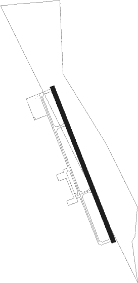
Runway info
| Runway 16 / 34 | ||
| length | 915m (3002ft) | |
| bearing | 156° / 336° | |
| width | 23m (75ft) | |
| surface | asphalt | |
Nearby beacons
| code | identifier | dist | bearing | frequency |
|---|---|---|---|---|
| BR | LAREW (BRAINERD) NDB | 21.8 | 127° | 251 |
| PK | SPIDA (PARK RAPIDS) NDB | 25.2 | 280° | 269 |
| PKD | RAPIDS DME | 30.1 | 284° | 110.60 |
| XCR | RIPLEY NDB | 38.8 | 177° | 404 |
| GPZ | GRAND RAPIDS VOR/DME | 45 | 64° | 111.40 |
| IDJ | LAKE BEMIDJI VOR/DME | 51.9 | 325° | 110 |
| AXN | ALEXANDRIA VOR/DME | 57.9 | 228° | 112.80 |
Instrument approach procedures
| runway | airway (heading) | route (dist, bearing) |
|---|---|---|
| RW34 | OVESE (336°) | OVESE 3100ft |
| RW34 | UDNEF (13°) | UDNEF OVESE (5mi, 78°) 3100ft |
| RW34 | VUHNY (306°) | VUHNY OVESE (5mi, 258°) 3100ft |
| RNAV | OVESE 3100ft IJUWU (5mi, 336°) 2900ft KPWC (5mi, 336°) 1332ft (5585mi, 116°) 2100ft OVESE (5583mi, 296°) 3100ft OVESE (turn) |
Disclaimer
The information on this website is not for real aviation. Use this data with the X-Plane flight simulator only! Data taken with kind consent from X-Plane 12 source code and data files. Content is subject to change without notice.