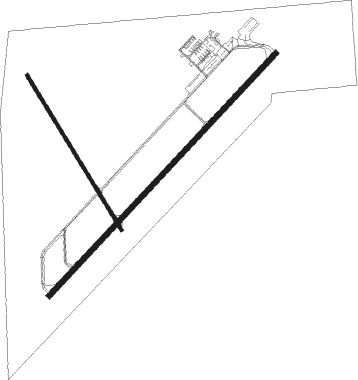
North Vernon
Airport details
| Country | United States of America |
| State | Indiana |
| Region | K5 |
| Airspace | Indianapolis Ctr |
| Municipality | North Vernon |
| Elevation | 756ft (230m) |
| Timezone | GMT -5 |
| Coordinates | 39.04533, -85.60561 |
| Magnetic var | |
| Type | land |
| Available since | X-Plane v10.40 |
| ICAO code | KOVO |
| IATA code | n/a |
| FAA code | OVO |
Communication
| North Vernon AWOS 3 | 120.625 |
| North Vernon CTAF/UNICOM | 122.700 |
Nearby Points of Interest:
Annadale
-Vernon Historic District
-Collin's Ford Bridge
-Straber Ford Bridge
-Rising Sun Historic District
-Elnora Daugherty Farm
-Lyman and Asenath Hoyt House
-Southern Indiana Railroad Freighthouse
-William R. Gant Farm
-Seymour Commercial Historic District
-George H. Vehslage House
-First Presbyterian Church
-T. Harlan and Helen Montgomery House
-Newsom-Marr Farm
-Bell Ford Bridge
-Elias Conwell House
-Central House
-Mabel McDowell Adult Education Center
-Versailles School and Tyson Auditorium
-Tyson United Methodist Church
-Ripley County Courthouse
-Fernando G. Taylor House
-Beatty-Trimpe Farm
-David Aikens House
-Hope Historic District

Nearby beacons
| code | identifier | dist | bearing | frequency |
|---|---|---|---|---|
| GVR | (MADISON) DME | 18.3 | 155° | 114.65 |
| BA | CLIFS (COLUMBUS) NDB | 19.3 | 322° | 410 |
| HLB | BATESVILLE NDB | 24.2 | 49° | 254 |
| JV | CATCH (JEFFERSONVILLE) NDB | 34.8 | 193° | 331 |
| SHB | SHELBYVILLE VOR/DME | 36.7 | 340° | 112 |
| CVG | CINCINNATI VORTAC | 42.1 | 92° | 117.30 |
| CO | COLFA (INDIANAPOLIS) NDB | 45.5 | 317° | 232 |
| BQM | (LOUISVILLE) DME | 49 | 184° | 112.20 |
| SQ | PNTHR (CONNERSVILLE) NDB | 49.1 | 33° | 227 |
| UWL | NEW CASTLE NDB | 51.8 | 19° | 385 |
| FV | LAREZ (INDIANAPOLIS) NDB | 52.2 | 321° | 349 |
| LK | LAANG (LOUISVILLE) NDB | 54 | 182° | 414 |
| RID | RICHMOND VOR/DME | 55.5 | 47° | 110.60 |
| IIU | LOUISVILLE VORTAC | 56.5 | 178° | 114.80 |
| UMP | METROPOLITAN (INDIANAPOLIS) NDB | 57.4 | 334° | 338 |
| VHP | BRICKYARD VORTAC | 58.1 | 315° | 116.30 |
| FFT | FRANKFORT VOR | 61.2 | 141° | 109.40 |
Instrument approach procedures
| runway | airway (heading) | route (dist, bearing) |
|---|---|---|
| RW05 | HOUSE (90°) | HOUSE NURBE (20mi, 108°) 2700ft |
| RW05 | NURBE (54°) | NURBE 2700ft |
| RNAV | NURBE 2700ft GUDLY (4mi, 55°) 2700ft BOPGY (3mi, 55°) 2300ft KOVO (5mi, 54°) 797ft (5200mi, 115°) 1091ft KONVY (5198mi, 295°) HIGMA (11mi, 348°) 2800ft HIGMA (turn) | |
| RW23-Y | AMARG (226°) | AMARG 2800ft TETIE (4mi, 225°) 2800ft |
| RNAV | TETIE 2800ft CEXAR (4mi, 225°) 2400ft FANTN (3mi, 225°) 1400ft KOVO (2mi, 228°) 795ft DOVGE (2mi, 219°) NURBE (10mi, 236°) 2700ft NURBE (turn) | |
| RW23-Z | LOPYU (235°) | LOPYU 2800ft ELEFY (4mi, 235°) 2800ft |
| RNAV | ELEFY 2800ft BUMCE (5mi, 235°) 2400ft KOVO (5mi, 235°) 795ft NURBE (12mi, 234°) 2700ft NURBE (turn) |
Disclaimer
The information on this website is not for real aviation. Use this data with the X-Plane flight simulator only! Data taken with kind consent from X-Plane 12 source code and data files. Content is subject to change without notice.