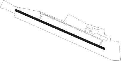
Olivia - Olivia Regl
Airport details
| Country | United States of America |
| State | Minnesota |
| Region | K3 |
| Airspace | Minneapolis Ctr |
| Municipality | Olivia |
| Elevation | 1076ft (328m) |
| Timezone | GMT -6 |
| Coordinates | 44.77857, -95.03278 |
| Magnetic var | |
| Type | land |
| Available since | X-Plane v10.40 |
| ICAO code | KOVL |
| IATA code | n/a |
| FAA code | OVL |
Communication
| Olivia Regl AWOS 3 | 119.275 |
| Olivia Regl CTAF/UNICOM | 122.800 |
Runway info
| Runway 11 / 29 | ||
| length | 1065m (3494ft) | |
| bearing | 111° / 291° | |
| width | 23m (75ft) | |
| surface | asphalt | |
Nearby beacons
| code | identifier | dist | bearing | frequency |
|---|---|---|---|---|
| RWF | REDWOOD FALLS VOR/DME | 19.1 | 197° | 113.30 |
| BDH | WILLMAR VOR/DME | 20.7 | 344° | 113.70 |
| DWN | DARWIN VORTAC | 30.8 | 62° | 109 |
| MVE | MONTEVIDEO VOR/DME | 31.1 | 286° | 111.60 |
| MML | MARSHALL VOR/DME | 39.2 | 247° | 111 |
| GB | GARNO (MARSHALL) NDB | 41 | 253° | 253 |
| MOX | MORRIS VOR/DME | 61.6 | 310° | 109.60 |
| STC | SAINT CLOUD VOR/DME | 62 | 52° | 112.10 |
Instrument approach procedures
| runway | airway (heading) | route (dist, bearing) |
|---|---|---|
| RW29 | UYEPU (271°) | UYEPU 3000ft WOPUW (5mi, 217°) 2700ft |
| RW29 | VOFHA (315°) | VOFHA 2700ft WOPUW (5mi, 37°) 2700ft |
| RW29 | WOPUW (291°) | WOPUW 2700ft |
| RNAV | WOPUW 2700ft YUWRE (5mi, 291°) 2700ft 30THR (2mi, 291°) 2060ft KOVL (3mi, 291°) 1121ft (5620mi, 115°) 2000ft WOPUW (5611mi, 295°) 2700ft WOPUW (turn) |
Disclaimer
The information on this website is not for real aviation. Use this data with the X-Plane flight simulator only! Data taken with kind consent from X-Plane 12 source code and data files. Content is subject to change without notice.
