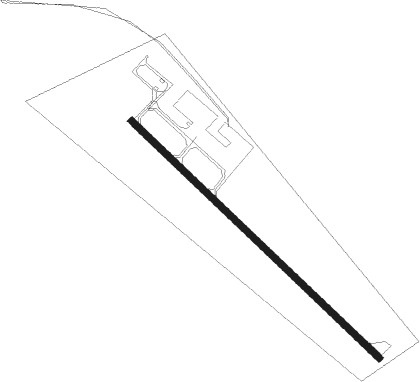
Orr - Orr Rgnl
Airport details
| Country | United States of America |
| State | Minnesota |
| Region | K3 |
| Airspace | Minneapolis Ctr |
| Municipality | Saint Louis County |
| Elevation | 1311ft (400m) |
| Timezone | GMT -6 |
| Coordinates | 48.01591, -92.85606 |
| Magnetic var | |
| Type | land |
| Available since | X-Plane v10.40 |
| ICAO code | KORB |
| IATA code | n/a |
| FAA code | ORB |
Communication
| ORR RGNL AWOS 3 | 118.325 |
| ORR RGNL UNICOM | 122.800 |
Nearby Points of Interest:
Orr Roadside Parking Area
-LeMoine Building
-Civilian Conservation Corps Camp S-52
-Sts. Peter and Paul Russian Orthodox Church
-William Ingersoll Estate
-I.W. Stevens Lakeside Cottage
-Tower Train Museum
-Tower Fire Hall
-Kabetogama Ranger Station District
Nearby beacons
| code | identifier | dist | bearing | frequency |
|---|---|---|---|---|
| SCG | SCOTT (CRANE LAKE) NDB | 21.1 | 57° | 385 |
| FOZ | BIGFORK NDB | 35 | 254° | 345 |
| INL | INTERNATIONAL FALLS VOR/DME | 39.6 | 315° | 111 |
| HIB | HIBBING VOR/DME | 43.3 | 168° | 110.80 |
| YAG | FORT FRANCES NDB | 48.7 | 315° | 376 |
| GPZ | GRAND RAPIDS VOR/DME | 57.2 | 217° | 111.40 |
Instrument approach procedures
| runway | airway (heading) | route (dist, bearing) |
|---|---|---|
| RW13 | RAXUE (127°) | RAXUE GOVNY (14mi, 127°) 3000ft |
| RW13 | ZUNNI (103°) | ZUNNI GOVNY (6mi, 48°) 3000ft GOVNY (turn) 3000ft |
| RNAV | GOVNY 3000ft AWALU (6mi, 127°) 3000ft ZANBU (3mi, 127°) 2100ft KORB (3mi, 127°) 1351ft (5520mi, 117°) 1680ft JOPEP (5517mi, 297°) TOEGO (17mi, 207°) 3600ft TOEGO (turn) |
Disclaimer
The information on this website is not for real aviation. Use this data with the X-Plane flight simulator only! Data taken with kind consent from X-Plane 12 source code and data files. Content is subject to change without notice.