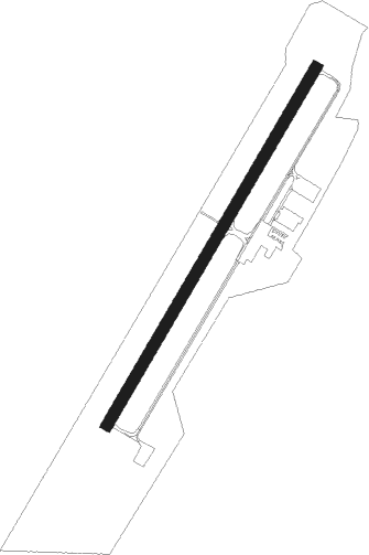
Currituck - Currituck County Regl
Airport details
| Country | United States of America |
| State | North Carolina |
| Region | K7 |
| Airspace | Washington Ctr |
| Municipality | Currituck County |
| Elevation | 17ft (5m) |
| Timezone | GMT -5 |
| Coordinates | 36.39994, -76.01544 |
| Magnetic var | |
| Type | land |
| Available since | X-Plane v10.32 |
| ICAO code | KONX |
| IATA code | n/a |
| FAA code | ONX |
Communication
| Currituck County Regl AWOS 3 | 119.775 |
| Currituck County Regl CTAF | 122.900 |
| Currituck County Regl OCEANA Approach | 123.900 |
| Currituck County Regl OCEANA Departure | 123.900 |
Nearby Points of Interest:
Currituck County Courthouse and Jail
-Coinjock Colored School
-Culong
-Shaw House
-Twin Houses
-Murfreesboro Historic District
-Caleb Grandy House
-Camden County Courthouse
-Camden County Jail
-Whalehead Club
-Milford
-Riverside Historic District
-Grandy School
-Northside Historic District
-Elizabeth City Water Plant
-Episcopal Cemetery
-Elizabeth City Historic District
-Norfolk Southern Passenger Station
-Newland Road Site
-William Riley Abbott House
-Jarvisburg Colored School
-Morgan House
-Stockton
-Cornland School
-Centreville-Fentress Historic District
Nearby beacons
| code | identifier | dist | bearing | frequency |
|---|---|---|---|---|
| ECG | ELIZABETH CITY VOR/DME | 11.5 | 228° | 112.50 |
| LLW | WOODVILLE (ELIZABETH CITY) NDB | 15.9 | 244° | 254 |
| NFE | CHESAPEAKE TACAN | 18.8 | 338° | 108.25 |
| NTU | OCEANA TACAN | 25.5 | 357° | 116.60 |
| OR | INGLE (NORFOLK) NDB | 28.7 | 332° | 329 |
| ORF | NORFOLK VORTAC | 30.8 | 339° | 116.90 |
| RBX | WRIGHT BROTHERS (MANTEO) VOR/DME | 32.6 | 146° | 111.60 |
| MQI | MANTEO NDB | 32.9 | 147° | 370 |
| NGU | CHAMBERS (NORFOLK) TACAN | 34.8 | 334° | 113.95 |
| CVI | COFIELD VORTAC | 41.4 | 268° | 114.60 |
| LFI | LANGLEY (HAMPTON) TACAN | 44.3 | 333° | 112.30 |
| FKN | FRANKLIN VORTAC | 51.6 | 287° | 110.60 |
| CCV | CAPE CHARLES VORTAC | 56.9 | 1° | 112.20 |
| AKQ | WAKEFIELD NDB | 58.9 | 301° | 274 |
Instrument approach procedures
| runway | airway (heading) | route (dist, bearing) |
|---|---|---|
| RW05 | OCSIP (358°) | OCSIP HAKDY (10mi, 305°) 2700ft |
| RW05 | WINAL (59°) | WINAL HAKDY (14mi, 72°) 2700ft |
| RNAV | HAKDY 2700ft TACLO (6mi, 41°) 1700ft KONX (6mi, 41°) 58ft HABKI (13mi, 41°) 2000ft HABKI (turn) | |
| RW23 | HABKI (221°) | HABKI 2000ft |
| RW23 | SUNNS (95°) | SUNNS FEVBI (29mi, 72°) 2100ft HABKI (5mi, 120°) 2000ft |
| RNAV | HABKI 2000ft OTETY (6mi, 221°) 2000ft KONX (6mi, 221°) 55ft (4732mi, 116°) 384ft EDORY (4734mi, 296°) SUNNS (22mi, 287°) 2000ft SUNNS (turn) |
Disclaimer
The information on this website is not for real aviation. Use this data with the X-Plane flight simulator only! Data taken with kind consent from X-Plane 12 source code and data files. Content is subject to change without notice.