Moose Lake - Moose Lake Carlton Co
Airport details
| Country | United States of America |
| State | Minnesota |
| Region | K3 |
| Airspace | Minneapolis Ctr |
| Municipality | Carlton County |
| Elevation | 1076ft (328m) |
| Timezone | GMT -6 |
| Coordinates | 46.41861, -92.80478 |
| Magnetic var | |
| Type | land |
| Available since | X-Plane v10.40 |
| ICAO code | KMZH |
| IATA code | n/a |
| FAA code | MZH |
Communication
| Moose Lake Carlton Co CTAF | 122.900 |
| Moose Lake Carlton Co DULUTH Approach/Departure | 125.450 |
Nearby Points of Interest:
Arthyde Stone House
-Church of Sts. Joseph and Mary-Catholic
-Carlton County Courthouse
-Cloquet-Northern Office Building
-Cloquet City Hall
-Northern Pacific Depot
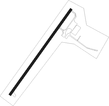
Runway info
| Runway 4 / 22 | ||
| length | 974m (3196ft) | |
| bearing | 51° / 231° | |
| width | 23m (75ft) | |
| surface | asphalt | |
Nearby beacons
| code | identifier | dist | bearing | frequency |
|---|---|---|---|---|
| DL | PYKLA (DULUTH) NDB | 31.6 | 46° | 379 |
| DLH | DULUTH VORTAC | 33.8 | 57° | 112.60 |
| LKI | LAKESIDE (DULUTH) TACAN | 36.1 | 56° | 135.40 |
| RZN | DME | 40.1 | 144° | 109.40 |
| BXR | BIG DOCTOR (SIREN) NDB | 40.2 | 144° | 203 |
| ROS | RUSH CITY NDB | 43.8 | 192° | 282 |
| GPZ | GRAND RAPIDS VOR/DME | 52.8 | 317° | 111.40 |
| HIB | HIBBING VOR/DME | 53.1 | 7° | 110.80 |
| PNM | PRINCETON NDB | 61.2 | 223° | 368 |
Instrument approach procedures
| runway | airway (heading) | route (dist, bearing) |
|---|---|---|
| RW04 | CODIL (51°) | CODIL 4000ft |
| RW04 | LINDR (68°) | LINDR CODIL (20mi, 76°) 4000ft |
| RW04 | ZOVNA (0°) | ZOVNA CODIL (20mi, 330°) 4000ft |
| RNAV | CODIL 4000ft WANUY (6mi, 51°) 2800ft KMZH (6mi, 51°) 1114ft (5521mi, 117°) 1324ft YISTU (5513mi, 297°) 4000ft YISTU (turn) |
Disclaimer
The information on this website is not for real aviation. Use this data with the X-Plane flight simulator only! Data taken with kind consent from X-Plane 12 source code and data files. Content is subject to change without notice.