Madisonville - Monroe Co
Airport details
| Country | United States of America |
| State | Tennessee |
| Region | K7 |
| Airspace | Atlanta Ctr |
| Municipality | Monroe County |
| Elevation | 1029ft (314m) |
| Timezone | GMT -5 |
| Coordinates | 35.54522, -84.38039 |
| Magnetic var | |
| Type | land |
| Available since | X-Plane v10.40 |
| ICAO code | KMNV |
| IATA code | n/a |
| FAA code | MNV |
Communication
| Monroe Co AWOS 3 | 118.475 |
| Monroe Co CTAF/UNICOM | 123.000 |
| Monroe Co KNOXVILLE Approach/Departure | 123.900 |
Nearby Points of Interest:
John McCroskey House
-Mialoquo
-Icehouse Bottom
-Tomotley
-Toqua
-William H. Griffitts House
-Craigs Chapel AME Zion Church
-Blair's Ferry Storehouse
-First United Presbyterian Church
-Citico
-John M. Rorex House
-Calderwood
-Boyd-Harvey House
-Roane County Courthouse
-Col. Gideon Morgan House
-Isaac Yearout House
-Look Rock Observation Tower
-Tapoco Lodge Historic District
-Willard-Clark House
-Avery Russell House
-X-10 Graphite Reactor
-Manhattan Project National Historical Park
-New Bethel Baptist Church
-Anderson Hall
-Morningside
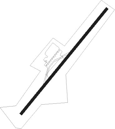
Runway info
| Runway 5 / 23 | ||
| length | 1112m (3648ft) | |
| bearing | 50° / 230° | |
| width | 23m (75ft) | |
| surface | asphalt | |
| displ threshold | 0m (0ft) / 46m (151ft) | |
Nearby beacons
| code | identifier | dist | bearing | frequency |
|---|---|---|---|---|
| DTE | MARK ANTON (DAYTON) NDB | 27.1 | 263° | 394 |
| VXV | VOLUNTEER (KNOXVILLE) VORTAC | 32 | 53° | 116.40 |
| HCH | HINCH MTN (CROSSVILLE) VOR/DME | 32.4 | 292° | 117.60 |
| HRS | HARRIS VORTAC | 42.7 | 142° | 109.80 |
| CQN | DAISY (N.CHATTANOOGA) NDB | 44.3 | 244° | 341 |
| GQO | CHOO CHOO (CHATTANOOGA) VORTAC | 51.6 | 233° | 115.80 |
| JXT | JEFFERSON (MORRISTOWN) NDB | 55.6 | 58° | 346 |
| SCX | SCOTT (ONEIDA) NDB | 55.6 | 347° | 403 |
Instrument approach procedures
| runway | airway (heading) | route (dist, bearing) |
|---|---|---|
| RW05 | MARBL (333°) | MARBL WEPMI (18mi, 302°) 5500ft ZEBAP (5mi, 308°) 3000ft |
| RW05 | PEEKS (94°) | PEEKS YUKUG (7mi, 148°) 3000ft ZEBAP (6mi, 127°) 3000ft |
| RW05 | SWELL (174°) | SWELL ZEBAP (19mi, 208°) 3200ft ZEBAP (turn) 3000ft |
| RNAV | ZEBAP 3000ft CEREG (6mi, 49°) 2500ft CORPA (2mi, 49°) 2300ft KMNV (4mi, 50°) 1084ft (5131mi, 113°) 1395ft OCACA (5127mi, 293°) SWELL (7mi, 313°) 3200ft SWELL (turn) | |
| RW23 | ETOWA (53°) | ETOWA IJFIJ (21mi, 51°) 4000ft IJFIJ (turn) 4000ft |
| RW23 | SWASO (201°) | SWASO IJFIJ (11mi, 167°) 4000ft |
| RW23 | VXV (233°) | VXV IJFIJ (21mi, 236°) 4000ft |
| RNAV | IJFIJ 4000ft OCACA (6mi, 230°) 2700ft WULBA (3mi, 230°) 1720ft KMNV (2mi, 230°) 1062ft (5131mi, 113°) 1348ft CORPA (5133mi, 293°) ETOWA (6mi, 236°) 3000ft ETOWA (turn) |
Disclaimer
The information on this website is not for real aviation. Use this data with the X-Plane flight simulator only! Data taken with kind consent from X-Plane 12 source code and data files. Content is subject to change without notice.