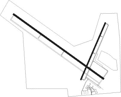
Marshall - Southwest Minnesota Regl
Airport details
| Country | United States of America |
| State | Minnesota |
| Region | K3 |
| Airspace | Minneapolis Ctr |
| Municipality | Lyon County |
| Elevation | 1180ft (360m) |
| Timezone | GMT -6 |
| Coordinates | 44.45172, -95.82442 |
| Magnetic var | |
| Type | land |
| Available since | X-Plane v10.40 |
| ICAO code | KMML |
| IATA code | MML |
| FAA code | MML |
Communication
| Southwest Minnesota Regl CTAF/UNICOM | 122.800 |
Approach frequencies
| ILS-cat-I | RW12 | 109.7 | 18.00mi |
| 3° GS | RW12 | 109.7 | 18.00mi |
Nearby Points of Interest:
Old Masonic Temple
-St. Paul's Evangelical Lutheran Church & Parsonage
-Milroy State Bank Building
-Danebod
-Upper Sioux Agency State Park
-Revere Fire Hall
-Lundring Service Station
-Canby Commercial Historic District
-Joseph Brown House Ruins
-City Blacksmith Shop
-Sacred Heart Public School

Nearby beacons
| code | identifier | dist | bearing | frequency |
|---|---|---|---|---|
| MML | MARSHALL VOR/DME | 0.1 | 186° | 111 |
| GB | GARNO (MARSHALL) NDB | 4.7 | 300° | 253 |
| RWF | REDWOOD FALLS VOR/DME | 29.8 | 89° | 113.30 |
| MVE | MONTEVIDEO VOR/DME | 31.6 | 12° | 111.60 |
| OTG | WORTHINGTON VOR/DME | 49.4 | 163° | 110.60 |
| BDH | WILLMAR VOR/DME | 49.8 | 46° | 113.70 |
| OT | WONDD (WORTHINGTON) NDB | 52.4 | 157° | 277 |
| FSD | SIOUX FALLS VORTAC | 63.4 | 230° | 115 |
Instrument approach procedures
| runway | airway (heading) | route (dist, bearing) |
|---|---|---|
| RW12 | CARIT (92°) | CARIT PELBE (10mi, 59°) 3200ft |
| RW12 | RWF (269°) | RWF PELBE (39mi, 277°) 3200ft PELBE (turn) 3200ft |
| RNAV | PELBE 3200ft HIBUM (6mi, 121°) 2600ft DABLE (2mi, 121°) 1860ft KMML (3mi, 120°) 1232ft (5655mi, 115°) 1383ft BOPMY (5646mi, 295°) 3000ft BOPMY (turn) | |
| RW30 | BOPMY (301°) | BOPMY 3000ft |
| RW30 | PILIY (287°) | PILIY BOPMY (9mi, 270°) 3000ft |
| RW30 | ZERAD (321°) | ZERAD BOPMY (6mi, 11°) 3000ft |
| RNAV | BOPMY 3000ft OHEXE (6mi, 301°) 2800ft WUSKA (3mi, 301°) 1900ft KMML (3mi, 302°) 1219ft (5655mi, 115°) 1429ft PELBE (5663mi, 295°) 3200ft PELBE (turn) |
Disclaimer
The information on this website is not for real aviation. Use this data with the X-Plane flight simulator only! Data taken with kind consent from X-Plane 12 source code and data files. Content is subject to change without notice.