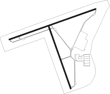
Midland - Midland Airpark
Airport details
| Country | United States of America |
| State | Texas |
| Region | K4 |
| Airspace | Ft Worth Ctr |
| Municipality | Midland |
| Elevation | 2803ft (854m) |
| Timezone | GMT -6 |
| Coordinates | 32.03657, -102.10152 |
| Magnetic var | |
| Type | land |
| Available since | X-Plane v10.40 |
| ICAO code | KMDD |
| IATA code | MDD |
| FAA code | MDD |
Communication
| Midland Airpark AWOS 3 | 118.125 |
| Midland Airpark CTAF/UNICOM | 122.700 |
| Midland Airpark Clearance DEL | 121.800 |
| Midland Airpark Midland app/dep | 124.600 |
| Midland Airpark Approach/Departure | 124.600 |
Nearby Points of Interest:
Howard House
-Glasscock County Courthouse

Nearby beacons
| code | identifier | dist | bearing | frequency |
|---|---|---|---|---|
| MAF | MIDLAND VORTAC | 4.8 | 253° | 114.80 |
| MA | FARLY (MIDLAND) NDB | 11.7 | 258° | 326 |
| BGS | BIG SPRING VORTAC | 37.7 | 61° | 117.20 |
Instrument approach procedures
| runway | airway (heading) | route (dist, bearing) |
|---|---|---|
| RW25 | CIRIT (257°) | CIRIT 4500ft |
| RNAV | CIRIT 4500ft WAVOK (7mi, 257°) 4500ft JIBEM (3mi, 257°) 3460ft KMDD (2mi, 254°) 2837ft (6020mi, 107°) 3071ft BAVNE (6022mi, 287°) JOJOS (9mi, 257°) 5000ft JOJOS (turn) | |
| RW34 | UMCEJ (343°) | UMCEJ 4700ft |
| RNAV | UMCEJ 4700ft HIBMA (7mi, 343°) 4500ft CEXOM (3mi, 342°) 3660ft KMDD (3mi, 343°) 2837ft (6020mi, 107°) 3051ft ZEBIB (6022mi, 288°) 4500ft ZEBIB (turn) |
Disclaimer
The information on this website is not for real aviation. Use this data with the X-Plane flight simulator only! Data taken with kind consent from X-Plane 12 source code and data files. Content is subject to change without notice.