St James - St James Muni
Airport details
| Country | United States of America |
| State | Minnesota |
| Region | K3 |
| Airspace | Minneapolis Ctr |
| Municipality | Watonwan County |
| Elevation | 1065ft (325m) |
| Timezone | GMT -6 |
| Coordinates | 43.98635, -94.55798 |
| Magnetic var | |
| Type | land |
| Available since | X-Plane v10.40 |
| ICAO code | KJYG |
| IATA code | n/a |
| FAA code | JYG |
Communication
| St James Muni CTAF | 122.900 |
Nearby Points of Interest:
Watonwan County Courthouse
-Grand Opera House
-Nora Free Christian Church
-Isaac Bargen House
-First Baptist Church
-Mountain Lake Site
-Flandrau State Park CCC/WPA/Rustic Style Historic Resources
-Boesch, Hummel, and Maltzahn Block
-New Ulm Oil Company Service Station
-Orville P. and Sarah Chubb House
-Martin County Courthouse
-Red Rock Center for the Arts
-Sterling Congregational Church
-Minneopa State Park WPA/Rustic Style Historic Resources
-Kern Bridge
-Cottonwood County Courthouse
-Lorin Cray House
-Renesselaer D. Hubbard House
-Federal Courthouse and Post Office
-First National Bank of Mankato
-First Presbyterian Church
-Old Main
-Blue Earth County Courthouse
-Faribault County Courthouse
-Jackson County Courthouse
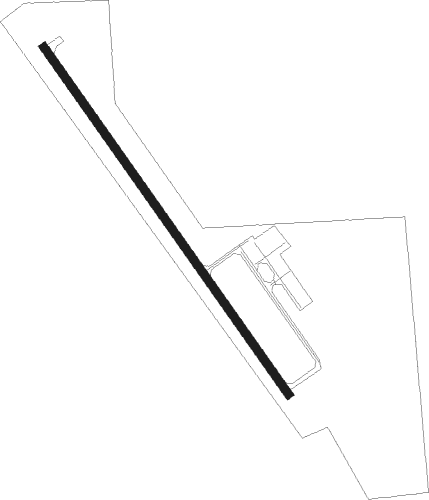
Runway info
| Runway 15 / 33 | ||
| length | 1220m (4003ft) | |
| bearing | 140° / 320° | |
| width | 23m (75ft) | |
| surface | asphalt | |
Nearby beacons
| code | identifier | dist | bearing | frequency |
|---|---|---|---|---|
| FRM | DME | 21.2 | 158° | 110.20 |
| FNX | DME | 21.8 | 157° | 114.25 |
| FQ | MONTZ (FAIRMONT) NDB | 26.8 | 150° | 420 |
| MKT | MANKATO VOR/DME | 31.1 | 70° | 110.80 |
| RWF | REDWOOD FALLS VOR/DME | 37.9 | 310° | 113.30 |
| OT | WONDD (WORTHINGTON) NDB | 45 | 248° | 277 |
| EGQ | EMMETSBURG NDB | 53.5 | 190° | 410 |
| SP | SNORE (SPENCER) NDB | 56.2 | 226° | 394 |
| SPW | SPENCER VOR/DME | 56.8 | 218° | 110 |
Instrument approach procedures
| runway | airway (heading) | route (dist, bearing) |
|---|---|---|
| RW15 | AMILY (140°) | AMILY 3200ft |
| RNAV | AMILY 3200ft KUBYE (5mi, 140°) 2700ft CADAK (3mi, 140°) 1880ft KJYG (3mi, 140°) 1101ft (5602mi, 115°) 1317ft PUGJU (5597mi, 295°) 3200ft PUGJU (turn) | |
| RW33 | PUGJU (321°) | PUGJU 3200ft |
| RNAV | PUGJU 3200ft JATTY (5mi, 321°) 2700ft CADLO (2mi, 321°) 1980ft KJYG (3mi, 321°) 1105ft (5602mi, 115°) 1343ft AMILY (5607mi, 295°) 3200ft AMILY (turn) |
Disclaimer
The information on this website is not for real aviation. Use this data with the X-Plane flight simulator only! Data taken with kind consent from X-Plane 12 source code and data files. Content is subject to change without notice.