Manistique - Schoolcraft County
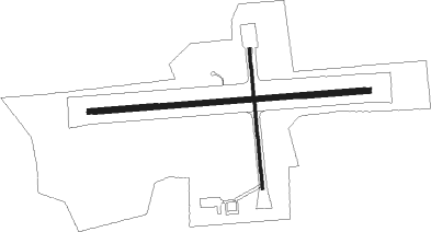
Airport details
| Country | United States of America |
| State | Michigan |
| Region | K5 |
| Airspace | Minneapolis Ctr |
| Municipality | Manistique Township |
| Elevation | 685ft (209m) |
| Timezone | GMT -5 |
| Coordinates | 45.97464, -86.17184 |
| Magnetic var | |
| Type | land |
| Available since | X-Plane v10.40 |
| ICAO code | KISQ |
| IATA code | ISQ |
| FAA code | ISQ |
Communication
| Schoolcraft County CTAF/UNICOM | 122.800 |
Nearby Points of Interest:
Ekdahl–Goudreau Site
-Seul Choix Light
-Seney National Wildlife Refuge
-Ten Curves Road–Manistique River Bridge
-Spider Cave

Nearby beacons
| code | identifier | dist | bearing | frequency |
|---|---|---|---|---|
| ISQ | CO. (MANISTIQ DME | 0.1 | 317° | 114.85 |
| ESC | ESCANABA VOR/DME | 41.2 | 255° | 110.80 |
Instrument approach procedures
| runway | airway (heading) | route (dist, bearing) |
|---|---|---|
| RW10 | HALKI (90°) | HALKI 2600ft |
| RNAV | HALKI 2600ft ZIRET (7mi, 90°) 2400ft WUXUL (3mi, 90°) 1380ft KISQ (3mi, 90°) 719ft (5245mi, 118°) 1060ft DUCER (5233mi, 298°) 2600ft DUCER (turn) | |
| RW28 | DUCER (270°) | DUCER 2600ft |
| RNAV | DUCER 2600ft EDLUC (7mi, 270°) 2400ft NEKIY (3mi, 270°) 1340ft KISQ (2mi, 270°) 711ft (5245mi, 118°) 1020ft HALKI (5258mi, 298°) 2600ft HALKI (turn) |
Disclaimer
The information on this website is not for real aviation. Use this data with the X-Plane flight simulator only! Data taken with kind consent from X-Plane 12 source code and data files. Content is subject to change without notice.