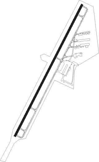
Madison - Madison Municipal
Airport details
| Country | United States of America |
| State | Indiana |
| Region | K5 |
| Airspace | Indianapolis Ctr |
| Municipality | Jefferson County |
| Elevation | 815ft (248m) |
| Timezone | GMT -5 |
| Coordinates | 38.75992, -85.46469 |
| Magnetic var | |
| Type | land |
| Available since | X-Plane v10.40 |
| ICAO code | KIMS |
| IATA code | MDN |
| FAA code | IMS |
Communication
| Madison Municipal AWOS 3 | 119.175 |
| Madison Municipal CTAF/UNICOM | 123.000 |
| Madison Municipal LOUISVILLE Approach/Departure | 132.075 |
| Madison Municipal LOUISVILLE Approach/Departure | 123.675 |
Nearby Points of Interest:
Crowe-Garritt House
-Thomas A. Hendricks Library
-Crawford-Whitehead-Ross House
-Charles L. Shrewsbury House
-Madison Historic District
-Jefferson County Jail
-Ginn's Furniture Store
-Milton Masonic Lodge and County General Store
-Lyman and Asenath Hoyt House
-Lemuel Allen Farm
-Mathias Wolf Farm
-Hunter's Bottom Historic District
-Bates House
-Yeager General Store
-Abbott-Holloway Farm
-Carrollton Historic District
-Gen. William O. Butler House
-Scottsburg Courthouse Square Historic District
-Vernon Historic District
-William L. Coleman House
-Scottsburg Depot
-Scott County Home
-Collin's Ford Bridge
-Henry Ogburn House
-Thomas T. Wright House
Nearby beacons
| code | identifier | dist | bearing | frequency |
|---|---|---|---|---|
| GVR | (MADISON) DME | 0.2 | 255° | 114.65 |
| JV | CATCH (JEFFERSONVILLE) NDB | 21.4 | 224° | 331 |
| BQM | (LOUISVILLE) DME | 33.1 | 201° | 112.20 |
| HLB | BATESVILLE NDB | 36.5 | 19° | 254 |
| BA | CLIFS (COLUMBUS) NDB | 37.5 | 328° | 410 |
| LK | LAANG (LOUISVILLE) NDB | 37.7 | 195° | 414 |
| CVG | CINCINNATI VORTAC | 38.7 | 71° | 117.30 |
| IIU | LOUISVILLE VORTAC | 39.7 | 190° | 114.80 |
| FFT | FRANKFORT VOR | 43.4 | 136° | 109.40 |
| SHB | SHELBYVILLE VOR/DME | 55 | 338° | 112 |
| FTK | FORT KNOX VOR/DME | 56.5 | 211° | 109.60 |
| GN | BRIDL (LEXINGTON) NDB | 59 | 124° | 340 |
| LE | BLAYD (LEXINGTON) NDB | 59.9 | 134° | 242 |
| CO | COLFA (INDIANAPOLIS) NDB | 63.4 | 321° | 232 |
| MYS | MYSTIC VOR | 63.6 | 222° | 108.20 |
| RID | RICHMOND VOR/DME | 66.4 | 32° | 110.60 |
| HYK | LEXINGTON VOR/DME | 66.7 | 129° | 112.60 |
Instrument approach procedures
| runway | airway (heading) | route (dist, bearing) |
|---|---|---|
| RW03-Y | KOYGE (38°) | KOYGE 4000ft |
| RNAV | KOYGE 4000ft BULLG (7mi, 38°) 2400ft KIMS (5mi, 38°) 849ft (5193mi, 114°) 1219ft GAMKE (5183mi, 294°) 4000ft GAMKE (turn) 4000ft | |
| RW03-Z | KOYGE (38°) | KOYGE 4000ft |
| RNAV | KOYGE 4000ft BULLG (7mi, 38°) 2400ft KIMS (5mi, 38°) 849ft (5193mi, 114°) 1300ft GAMKE (5183mi, 294°) 4000ft GAMKE (turn) | |
| RW21 | BEENO (251°) | BEENO 2800ft |
| RNAV | BEENO 2800ft FORAY (4mi, 272°) 2500ft DORRE (2mi, 272°) 2400ft OHWOW (2mi, 234°) 1900ft KIMS (3mi, 218°) 858ft (5193mi, 114°) 1099ft KOYGE (5199mi, 294°) 4000ft KOYGE (turn) 4000ft |
Disclaimer
The information on this website is not for real aviation. Use this data with the X-Plane flight simulator only! Data taken with kind consent from X-Plane 12 source code and data files. Content is subject to change without notice.