Granite Falls - Granite Falls Muni
Airport details
| Country | United States of America |
| State | Minnesota |
| Region | K3 |
| Airspace | Minneapolis Ctr |
| Municipality | Yellow Medicine County |
| Elevation | 1045ft (319m) |
| Timezone | GMT -6 |
| Coordinates | 44.75246, -95.55553 |
| Magnetic var | |
| Type | land |
| Available since | X-Plane v10.40 |
| ICAO code | KGDB |
| IATA code | n/a |
| FAA code | GDB |
Communication
| Granite Falls Muni AWOS 3 | 120.100 |
| Granite Falls Muni CTAF/UNICOM | 122.800 |
Nearby Points of Interest:
Upper Sioux Agency State Park
-Sacred Heart Public School
-Joseph Brown House Ruins
-Chicago, Milwaukee and St. Paul Depot
-Camp Release State Monument
-Milroy State Bank Building
-Old Masonic Temple
-Lac qui Parle Mission
-St. Paul's Evangelical Lutheran Church & Parsonage
-Heins Block
-Renville County Courthouse and Jail
-Birch Coulee Battlefield
-St. Cornelia's Episcopal Church
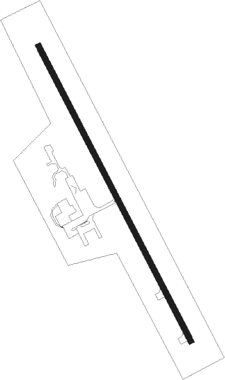
Runway info
| Runway 15 / 33 | ||
| length | 1328m (4357ft) | |
| bearing | 149° / 329° | |
| width | 23m (75ft) | |
| surface | asphalt | |
| displ threshold | 0m (0ft) / 196m (643ft) | |
Nearby beacons
| code | identifier | dist | bearing | frequency |
|---|---|---|---|---|
| MVE | MONTEVIDEO VOR/DME | 14.8 | 325° | 111.60 |
| GB | GARNO (MARSHALL) NDB | 21.3 | 235° | 253 |
| MML | MARSHALL VOR/DME | 21.5 | 222° | 111 |
| RWF | REDWOOD FALLS VOR/DME | 25 | 124° | 113.30 |
| BDH | WILLMAR VOR/DME | 28.5 | 50° | 113.70 |
| MOX | MORRIS VOR/DME | 51.8 | 333° | 109.60 |
Instrument approach procedures
| runway | airway (heading) | route (dist, bearing) |
|---|---|---|
| RW33 | MOLOW (329°) | MOLOW 3800ft |
| RW33 | RISLE (79°) | RISLE JUNES (19mi, 122°) 3800ft MOLOW (8mi, 63°) 3800ft |
| RNAV | MOLOW 3800ft JOCKA (7mi, 329°) 3000ft KGDB (6mi, 329°) 1078ft (5642mi, 115°) 1448ft MOLOW (5638mi, 295°) 3800ft MOLOW (turn) |
Disclaimer
The information on this website is not for real aviation. Use this data with the X-Plane flight simulator only! Data taken with kind consent from X-Plane 12 source code and data files. Content is subject to change without notice.