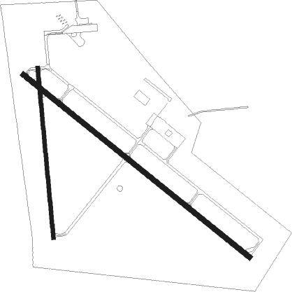
Fergus Falls - Fergus Falls Muni
Airport details
| Country | United States of America |
| State | Minnesota |
| Region | K3 |
| Airspace | Minneapolis Ctr |
| Municipality | Fergus Falls |
| Elevation | 1182ft (360m) |
| Timezone | GMT -6 |
| Coordinates | 46.28439, -96.15669 |
| Magnetic var | |
| Type | land |
| Available since | X-Plane v10.40 |
| ICAO code | KFFM |
| IATA code | FFM |
| FAA code | FFM |
Communication
| Fergus Falls Muni CTAF/UNICOM | 122.800 |
Approach frequencies
| ILS-cat-I | RW31 | 111.5 | 18.00mi |
| 3° GS | RW31 | 111.5 | 18.00mi |
Nearby Points of Interest:
Park Region Luther College
-Fergus Falls Regional Treatment Center
-John W. Mason House
-Fergus Falls City Hall
-Otter Tail County Courthouse
-Edward J. Devitt U.S. Courthouse and Federal Building
-C.C. Clement House
-C.J. Wright House
-Elizabeth Village Hall and Jail
-Stiklestad United Lutheran Church
-J. A. Johnson Blacksmith Shop
-District No. 182 School
-O.A.E. Blyberg House
-Maplewood State Park
-Wilkin County Courthouse
-Prospect House
-Leach Public Library
-Richland County Courthouse
-Grant County Courthouse
-Tenney Fire Hall
-Craigie Flour Mill Historical Marker
-District No. 44 School
-People's Union Church
-Femco Farm No. 2
-South Wild Rice Church

Nearby beacons
| code | identifier | dist | bearing | frequency |
|---|---|---|---|---|
| FFM | FERGUS FALLS VOR/DME | 0.2 | 359° | 110.40 |
| FF | HAMRE (FERGUS FALLS) NDB | 5.6 | 123° | 337 |
| DTL | DETROIT LAKES VOR/DME | 34.3 | 26° | 111.20 |
| FAR | FARGO VOR/DME | 40.2 | 304° | 116.20 |
| AXN | ALEXANDRIA VOR/DME | 43.1 | 109° | 112.80 |
| MOX | MORRIS VOR/DME | 43.8 | 165° | 109.60 |
| AA | KENIE (FARGO) NDB | 51.2 | 318° | 365 |
Instrument approach procedures
| runway | airway (heading) | route (dist, bearing) |
|---|---|---|
| RW13 | CUKVU (123°) | CUKVU 2900ft |
| RW13 | RUSTD (101°) | RUSTD CUKVU (23mi, 91°) 2900ft |
| RW13 | WIRDE (129°) | WIRDE CUKVU (14mi, 135°) 2900ft |
| RW13 | YILUV (159°) | YILUV CUKVU (12mi, 202°) 2900ft |
| RNAV | CUKVU 2900ft ITMUW (6mi, 123°) 2900ft TUYQU (4mi, 123°) 1760ft KFFM (2mi, 124°) 1222ft (5660mi, 116°) 1382ft IGAKE (5652mi, 296°) 2900ft IGAKE (turn) | |
| RW31 | AVAXE (327°) | AVAXE IGAKE (5mi, 54°) 2900ft |
| RW31 | CIRTI (284°) | CIRTI IGAKE (5mi, 234°) 2900ft |
| RW31 | IGAKE (303°) | IGAKE 2900ft |
| RNAV | IGAKE 2900ft FAPOS (6mi, 303°) 2900ft KFFM (6mi, 303°) 1228ft (5660mi, 116°) 1382ft GOGNY (5663mi, 296°) PANIC (9mi, 342°) 3000ft PANIC (turn) | |
| RW35 | DIXFO (0°) | DIXFO 3000ft |
| RW35 | RILBY (329°) | RILBY 3300ft DIXFO (5mi, 270°) 3000ft |
| RW35 | TOYOO (31°) | TOYOO 3000ft DIXFO (5mi, 89°) 3000ft |
| RNAV | DIXFO 3000ft OJALY (6mi, 359°) 3000ft KFFM (6mi, 1°) 1197ft WABIV (4mi, 355°) PANIC (8mi, 321°) 3000ft PANIC (turn) |
Disclaimer
The information on this website is not for real aviation. Use this data with the X-Plane flight simulator only! Data taken with kind consent from X-Plane 12 source code and data files. Content is subject to change without notice.