Fort Bridger
Airport details
| Country | United States of America |
| State | Wyoming |
| Region | K1 |
| Airspace | Salt Lake City Ctr |
| Municipality | Uinta County |
| Elevation | 7034ft (2144m) |
| Timezone | GMT -7 |
| Coordinates | 41.39333, -110.40598 |
| Magnetic var | |
| Type | land |
| Available since | X-Plane v10.40 |
| ICAO code | KFBR |
| IATA code | FBR |
| FAA code | FBR |
Communication
| Fort Bridger AWOS 2 | 118.800 |
| Fort Bridger CTAF/UNICOM | 122.800 |
Nearby Points of Interest:
Granger Stage Station State Historic Site
-Wyoming State Insane Asylum
-Downtown Evanston Historic District
-Union Pacific Railroad Complex
-Haddenham Cabin
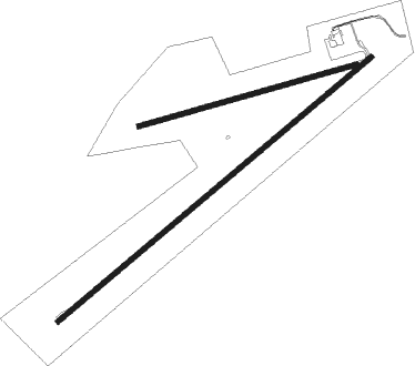
Runway info
Runway 4 / 22  | ||
| length | 1950m (6398ft) | |
| bearing | 62° / 242° | |
| width | 24m (79ft) | |
| surface | asphalt | |
| Runway 07 / 25 | ||
| length | 1071m (3514ft) | |
| bearing | 81° / 261° | |
| width | 24m (79ft) | |
| surface | dirt | |
Nearby beacons
| code | identifier | dist | bearing | frequency |
|---|---|---|---|---|
| FBR | FORT BRIDGER VOR/DME | 1.2 | 231° | 114.45 |
| EVW | EVANSTON VOR/DME | 29.7 | 259° | 109.60 |
Instrument approach procedures
| runway | airway (heading) | route (dist, bearing) |
|---|---|---|
| RW22 | FBR (51°) | FBR SINGE (13mi, 61°) 12000ft SINGE (turn) 10000ft |
| RW22 | WEGEM (263°) | WEGEM SINGE (10mi, 286°) 10000ft |
| RNAV | SINGE 10000ft LESRE (6mi, 242°) 8700ft KFBR (6mi, 242°) 7048ft (6316mi, 111°) 7500ft EXILE (6329mi, 290°) 12000ft EXILE (turn) 12000ft |
Disclaimer
The information on this website is not for real aviation. Use this data with the X-Plane flight simulator only! Data taken with kind consent from X-Plane 12 source code and data files. Content is subject to change without notice.