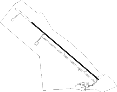
Dugway Proving Ground - Michael Aaf
Airport details
| Country | United States of America |
| State | Utah |
| Region | K2 |
| Airspace | Salt Lake City Ctr |
| Municipality | Tooele County |
| Elevation | 4350ft (1326m) |
| Timezone | GMT -7 |
| Coordinates | 40.19738, -112.93506 |
| Magnetic var | |
| Type | land |
| Available since | X-Plane v10.40 |
| ICAO code | KDPG |
| IATA code | DPG |
| FAA code | DPG |
Communication
| Michael AAF CTAF | 126.200 |
Nearby Points of Interest:
Lincoln Highway Bridge
-Thomas N. Taylor House
-John C. Sharp House
-David E. Davis House
-Stockton Jail
Nearby beacons
| code | identifier | dist | bearing | frequency |
|---|---|---|---|---|
| MIJ | MICHAEL (DUGWAY) TACAN | 0.6 | 114° | 113.20 |
| FFU | FAIRFIELD (PROVO) VORTAC | 45.8 | 86° | 116.60 |
| BVL | BONNEVILLE VORTAC | 49.1 | 303° | 112.30 |
| DTA | DELTA VORTAC | 57.2 | 154° | 116.10 |
| TCH | WASATCH VORTAC | 58.5 | 56° | 116.80 |
| HIF | HILL (OGDEN) TACAN | 70.9 | 46° | 111.20 |
Instrument approach procedures
| runway | airway (heading) | route (dist, bearing) |
|---|---|---|
| RW12 | BVL (123°) | BVL ETUBY (34mi, 121°) 8500ft |
| RW12 | CEVAR (182°) | CEVAR ETUBY (27mi, 212°) 9100ft ETUBY (turn) 8500ft |
| RW12 | DTA (334°) | DTA ETUBY (71mi, 328°) 9600ft ETUBY (turn) 8500ft |
| RNAV | ETUBY 8500ft UWOZO (9mi, 127°) 6100ft HISUK (5mi, 127°) 4638ft (6446mi, 110°) 4760ft ETUBY (6453mi, 290°) 8500ft ETUBY (turn) 8500ft |
Disclaimer
The information on this website is not for real aviation. Use this data with the X-Plane flight simulator only! Data taken with kind consent from X-Plane 12 source code and data files. Content is subject to change without notice.