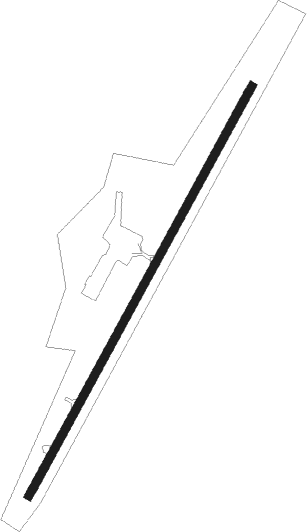
Cambridge - Cambridge Muni
Airport details
| Country | United States of America |
| State | Ohio |
| Region | K5 |
| Airspace | Cleveland Ctr |
| Municipality | Guernsey County |
| Elevation | 795ft (242m) |
| Timezone | GMT -5 |
| Coordinates | 39.97503, -81.57758 |
| Magnetic var | |
| Type | land |
| Available since | X-Plane v10.40 |
| ICAO code | KCDI |
| IATA code | n/a |
| FAA code | CDI |
Communication
| Cambridge Muni AWOS 3 | 118.525 |
| Cambridge Muni CTAF/UNICOM | 123.075 |
Nearby beacons
| code | identifier | dist | bearing | frequency |
|---|---|---|---|---|
| ZZV | ZANESVILLE VOR/DME | 14.6 | 264° | 114.95 |
| CTW | DME | 15.9 | 22° | 111.80 |
| CFX | CADIZ NDB | 30.3 | 65° | 239 |
| JPU | PARKERSBURG VOR/DME | 33.4 | 159° | 108.60 |
| AIR | BELLAIRE VOR/DME | 35 | 87° | 117.10 |
| PK | VERSI (PARKERSBURG) NDB | 43.5 | 173° | 388 |
| BSV | BRIGGS VOR/DME | 46.4 | 11° | 112.40 |
| UGS | UNIVERSITY (ATHENS) NDB | 50 | 217° | 250 |
| MF | MANNS (MANSFIELD) NDB | 61.9 | 312° | 372 |
Instrument approach procedures
| runway | airway (heading) | route (dist, bearing) |
|---|---|---|
| RW04 | BEALL (290°) | BEALL YISUG (32mi, 270°) 3000ft YISUG (turn) 3000ft |
| RW04 | GAZED (47°) | GAZED YISUG (8mi, 57°) 3000ft |
| RNAV | YISUG 3000ft WUVAP (7mi, 40°) 2700ft ZUSAV (3mi, 40°) 1600ft KCDI (3mi, 40°) 848ft (5018mi, 116°) 1199ft ILAXE (5013mi, 296°) 3000ft ILAXE (turn) | |
| RW22 | BEALL (290°) | BEALL ILAXE (28mi, 311°) 3000ft ILAXE (turn) 3000ft |
| RW22 | WISVA (249°) | WISVA ILAXE (12mi, 270°) 3000ft |
| RNAV | ILAXE 3000ft JITUS (5mi, 220°) 2700ft ZUDEV (3mi, 220°) 1840ft KCDI (4mi, 220°) 849ft (5018mi, 116°) 1199ft YISUG (5024mi, 296°) 3000ft YISUG (turn) |
Disclaimer
The information on this website is not for real aviation. Use this data with the X-Plane flight simulator only! Data taken with kind consent from X-Plane 12 source code and data files. Content is subject to change without notice.
