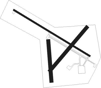
Charles City - Northeast Iowa Regl
Airport details
| Country | United States of America |
| State | Iowa |
| Region | K3 |
| Airspace | Minneapolis Ctr |
| Municipality | Floyd County |
| Elevation | 1125ft (343m) |
| Timezone | GMT -6 |
| Coordinates | 43.07250, -92.61081 |
| Magnetic var | |
| Type | land |
| Available since | X-Plane v10.40 |
| ICAO code | KCCY |
| IATA code | CCY |
| FAA code | CCY |
Communication
| Northeast Iowa Regl AWOS 3 | 125.525 |
| Northeast Iowa Regl CTAF/UNICOM | 122.800 |
| Northeast Iowa Regl WATERLOO Approach/Departure | 118.900 |
Approach frequencies
| LOC | RW12 | 108.3 | 18.00mi |
Nearby Points of Interest:
Charles Walter Hart House
-A. B. C. Dodd House
-Dr. Salsbury's Laboratories, Main Office and Production Laboratory Building
-Main Street Bridge
-Charles Henry Parr House
-Floyd County Court House
-Alvin Miller House
-Sherman Nursery Company Historic District
-Lucius and Maria Clinton Lane House
-Chickasaw County Courthouse
-Nathaniel Cobb and Lucetia Baily Deering House
-Cedar Valley Seminary
-Walnut Grove School
-James C. Fellows House
-Mitchell County Courthouse
-Mitchell Powerhouse and Dam
-Old Main
-Harmon and LeValley Northwest Historic District
-Charles H. & Theresa H. McBride Bungalow
-Waverly House
-Waverly Municipal Hydroelectric Powerhouse
-Shell Rock Bridge
-Bremer County Court House
-Sturdevant Southwest Historic District
-Old Fourth Ward Southeast Historic District

Nearby beacons
| code | identifier | dist | bearing | frequency |
|---|---|---|---|---|
| IY | CHUKK (CHARLES CITY) NDB | 6.3 | 298° | 417 |
| MC | SURFF (MASON CITY) NDB | 31.4 | 268° | 348 |
| MCW | MASON CITY VOR/DME | 31.5 | 272° | 114.90 |
| ALO | WATERLOO VOR/DME | 32.3 | 158° | 112.20 |
| JAY | AUSTIN VOR/DME | 33.1 | 329° | 108.20 |
| RST | ROCHESTER VOR/DME | 42.6 | 1° | 112 |
| IIB | WAPSIE (INDEPENDENCE) NDB | 47.2 | 133° | 206 |
| AEL | ALBERT LEA VOR/DME | 49.3 | 309° | 109.80 |
| JWJ | ELMWOOD (MARSHALTOWN) VOR/DME | 59.2 | 197° | 109.40 |
Instrument approach procedures
| runway | airway (heading) | route (dist, bearing) |
|---|---|---|
| RW12 | JUKAG (118°) | JUKAG 4000ft |
| RNAV | JUKAG 4000ft ZEDRA (6mi, 117°) 2700ft WESBA (3mi, 117°) 1780ft KCCY (2mi, 119°) 1157ft (5520mi, 115°) 1371ft IJIBU (5511mi, 295°) 4000ft IJIBU (turn) | |
| RW30 | IJIBU (297°) | IJIBU 4000ft |
| RNAV | IJIBU 4000ft NUPZI (6mi, 298°) 2700ft ZUMAM (3mi, 298°) 1780ft KCCY (2mi, 296°) 1157ft (5520mi, 115°) 1371ft JUKAG (5529mi, 295°) 4000ft JUKAG (turn) |
Disclaimer
The information on this website is not for real aviation. Use this data with the X-Plane flight simulator only! Data taken with kind consent from X-Plane 12 source code and data files. Content is subject to change without notice.