Big Piney - Big Piney Marbleton
Airport details
| Country | United States of America |
| State | Wyoming |
| Region | K1 |
| Airspace | Salt Lake City Ctr |
| Municipality | Sublette County |
| Elevation | 6990ft (2131m) |
| Timezone | GMT -7 |
| Coordinates | 42.58222, -110.10886 |
| Magnetic var | |
| Type | land |
| Available since | X-Plane v10.40 |
| ICAO code | KBPI |
| IATA code | BPI |
| FAA code | BPI |
Communication
| BIG PINEY MARBLETON ASOS | 135.225 |
| BIG PINEY MARBLETON CTAF/UNICOM | 122.800 |
Nearby Points of Interest:
Circle Ranch
-Daniel School
-Father DeSmet's Prairie Mass Site
-Trappers Point Site
-DDZ Bridge over New Fork River
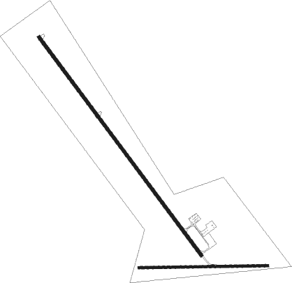
Runway info
Runway 13 / 31  | ||
| length | 2073m (6801ft) | |
| bearing | 139° / 319° | |
| width | 23m (75ft) | |
| surface | asphalt | |
| Runway 08 / 26 | ||
| length | 984m (3228ft) | |
| bearing | 93° / 273° | |
| width | 19m (62ft) | |
| surface | dirt | |
Nearby beacons
| code | identifier | dist | bearing | frequency |
|---|---|---|---|---|
| BPI | BIG PINEY VOR/DME | 0.1 | 187° | 116.50 |
| PNA | WENZ (PINEDALE) NDB | 18.4 | 55° | 392 |
Instrument approach procedures
| runway | airway (heading) | route (dist, bearing) |
|---|---|---|
| RW31 | BPI (7°) | BPI JITJU (10mi, 135°) 9600ft JITJU (turn) 9000ft |
| RW31 | GRIPS (359°) | GRIPS OTAYI (29mi, 11°) 9600ft JITJU (10mi, 11°) 9000ft |
| RNAV | JITJU 9000ft HICDE (5mi, 311°) 8400ft KBPI (5mi, 319°) 6979ft (6286mi, 111°) 7394ft JITJU (6282mi, 291°) 9000ft JITJU (turn) |
Disclaimer
The information on this website is not for real aviation. Use this data with the X-Plane flight simulator only! Data taken with kind consent from X-Plane 12 source code and data files. Content is subject to change without notice.