Clarion - Clarion County
Airport details
| Country | United States of America |
| State | Pennsylvania |
| Region | K6 |
| Airspace | Cleveland Ctr |
| Municipality | Elk Township |
| Elevation | 1458ft (444m) |
| Timezone | GMT -5 |
| Coordinates | 41.22495, -79.44217 |
| Magnetic var | |
| Type | land |
| Available since | X-Plane v10.40 |
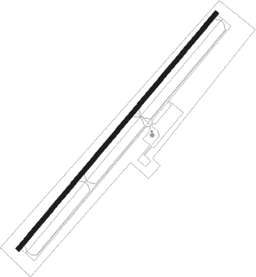
| ICAO code | KAXQ |
| IATA code | n/a |
| FAA code | AXQ |
Communication
| CLARION COUNTY AWOS 3 | 118.275 |
| CLARION COUNTY UNICOM | 122.800 |
Nearby Points of Interest:
Clarion County Courthouse and Jail
-Foxburg Country Club
-Cook Forest State Park Indian Cabin District
-Anthony Wayne Cook Mansion
-Cook Forest State Park River Cabin District
-St. Stephen's Church (Bradys Bend, Pennsylvania)
-Joseph E. Hall House
-Gray-Taylor House
-Clear Creek State Park Family Cabin District
-Brookville Presbyterian Church and Manse
-Brookville Historic District
-Allegheny River Lock and Dam No. 9
-Phillip Taylor House
-Oil City Armory
-Oil City South Side Historic District
-National Transit Building
-Clear Creek State Park Day Use District
-Oil City Downtown Commercial Historic District
-Oil City North Side Historic District
-Colwell Cut Viaduct
-Witherup Bridge
-Bridge in Clinton Township
-Allegheny River Lock and Dam No. 8
-Franklin Historic District
-Samuel F. Dale House
Nearby beacons
| code | identifier | dist | bearing | frequency |
|---|---|---|---|---|
| CIP | DME | 4.7 | 191° | 112.90 |
| FKL | FRANKLIN VOR | 22.6 | 297° | 109.60 |
| TDT | DME | 29.3 | 3° | 117.60 |
| EWC | ELLWOOD CITY VOR/DME | 42.3 | 243° | 115.80 |
| UCP | CASTLE (NEW CASTLE) NDB | 45.6 | 258° | 272 |
| BFD | DME | 50 | 56° | 116.60 |
| REC | REVLOC VOR/DME | 51.5 | 134° | 110.60 |
| MMJ | (PITTSBURGH) DME | 55.8 | 226° | 112 |
| JHW | JAMESTOWN VOR/DME | 59.6 | 18° | 114.70 |
| ERI | ERIE VORTAC | 61 | 313° | 109.40 |
| JST | JOHNSTOWN VOR/DME | 61.1 | 146° | 113 |
| AGC | ALLEGHENY (PITTSBURGH) VOR/DME | 63 | 212° | 110 |
Instrument approach procedures
| runway | airway (heading) | route (dist, bearing) |
|---|---|---|
| RW06 | EARED (42°) | EARED LOCPI (8mi, 25°) 3100ft |
| RW06 | LOCPI (53°) | LOCPI 3100ft |
| RNAV | LOCPI 3100ft ADRAN (6mi, 53°) 3100ft KAXQ (5mi, 53°) 1473ft (4929mi, 117°) 1701ft PUNCO (4922mi, 298°) 3500ft PUNCO (turn) | |
| RW24 | PUNCO (233°) | PUNCO 3500ft |
| RNAV | PUNCO 3500ft WAMSO (6mi, 233°) 3200ft KAXQ (6mi, 233°) 1497ft (4929mi, 117°) 1858ft LOCPI (4936mi, 297°) 3100ft LOCPI (turn) |
Disclaimer
The information on this website is not for real aviation. Use this data with the X-Plane flight simulator only! Data taken with kind consent from X-Plane 12 source code and data files. Content is subject to change without notice.