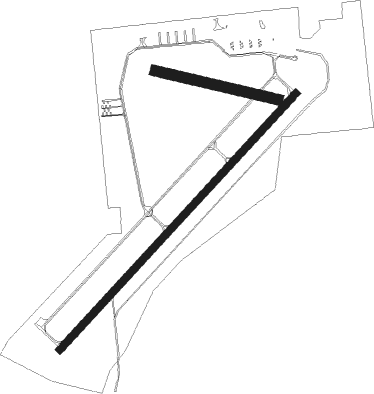
Adrian - Lenawee Co
Airport details
| Country | United States of America |
| State | Michigan |
| Region | K5 |
| Airspace | Cleveland Ctr |
| Municipality | Madison Township |
| Elevation | 796ft (243m) |
| Timezone | GMT -5 |
| Coordinates | 41.86768, -84.07731 |
| Magnetic var | |
| Type | land |
| Available since | X-Plane v10.40 |
| ICAO code | KADG |
| IATA code | ADG |
| FAA code | ADG |
Communication
| Lenawee Co ASOS | 118.375 |
| Lenawee Co CTAF/UNICOM | 122.800 |
| Lenawee Co TOLEDO Approach/Departure | 134.350 |
Nearby Points of Interest:
Dennis-State Streets Historic District
-Adrian Public Library
-Adrian Engine House No. 1
-Downtown Adrian Commercial Historic District
-Governor Charles Croswell House
-Lenawee County Courthouse
-George B. Horton and Amanda Bradish Farmstead
-John W. Keeney and Erena Alexander Rogers Farm
-David Carpenter House
-Nathaniel S. Wheeler House
-Blissfield Downtown Historic District
-Tecumseh Historic District
-William Hayden House (Tecumseh, Michigan)
-George J. Kempf House
-Tecumseh Downtown Historic District
-Joseph E. Hall House
-Saint Elizabeth's Church
-Dr. Samuel Catlin House
-Samuel W. Temple House
-Musgrove Evans House
-G. P. Sparks House
-First Presbyterian Church of Blissfield
-Irish Hills Towers
-Davenport House
-Saint Joseph Church and Shrine

Nearby beacons
| code | identifier | dist | bearing | frequency |
|---|---|---|---|---|
| ADG | ADRIAN NDB | 0.1 | 356° | 278 |
| TCU | TECUMSEH NDB | 13.1 | 49° | 239 |
| TO | TOPHR (TOLEDO) NDB | 20.1 | 154° | 219 |
| TOL | TOLEDO TACAN | 20.6 | 135° | 112.50 |
| JXN | DME | 29 | 316° | 115.45 |
| CRL | CARLETON VOR/DME | 29.7 | 74° | 115.70 |
| DT | REVUP (DETROIT) NDB | 32.5 | 69° | 388 |
| LFD | LITCHFIELD VOR/DME | 32.8 | 286° | 111.20 |
| DXO | DETROIT VOR/DME | 37.8 | 64° | 113.40 |
| SVM | SALEM VORTAC | 38.9 | 42° | 114.30 |
| RYS | GROSSE ILE (DETROIT) NDB | 43.5 | 76° | 419 |
| DM | SPENC (DETROIT) NDB | 44.3 | 68° | 223 |
| GW | SHENK (AUBURN) NDB | 51.4 | 237° | 227 |
| PSI | DME | 55.5 | 33° | 111 |
| FBC | FLAG CITY VORTAC | 56.6 | 161° | 108.20 |
| TII | TIFFIN NDB | 60.5 | 132° | 269 |
Instrument approach procedures
| runway | airway (heading) | route (dist, bearing) |
|---|---|---|
| RW05 | OBIHI (55°) | OBIHI 3000ft |
| RNAV | OBIHI 3000ft SECRU (6mi, 55°) 2400ft HAGVI (3mi, 55°) 1380ft KADG (2mi, 54°) 841ft (5140mi, 116°) 1048ft EZHAF (5133mi, 297°) 3000ft EZHAF (turn) | |
| RW23 | JEKHU (256°) | JEKHU EZHAF (5mi, 309°) 3000ft |
| RW23 | VEFRE (210°) | VEFRE EZHAF (5mi, 129°) 3000ft |
| RNAV | EZHAF 3000ft KUZJO (6mi, 235°) 2400ft KICEC (3mi, 235°) 1380ft KADG (2mi, 236°) 843ft (5140mi, 116°) 1198ft OBIHI (5148mi, 296°) 3000ft OBIHI (turn) |
Disclaimer
The information on this website is not for real aviation. Use this data with the X-Plane flight simulator only! Data taken with kind consent from X-Plane 12 source code and data files. Content is subject to change without notice.