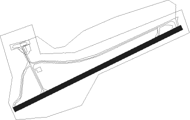
Gran Canaria Island - El Berriel
Airport details
| Country | Spain |
| State | Canary Islands |
| Region | LE |
| Airspace | Canaries Ctr |
| Municipality | San Bartolomé de Tirajana |
| Elevation | 0ft (0m) |
| Timezone | GMT +0 |
| Coordinates | 27.78334, -15.51054 |
| Magnetic var | |
| Type | land |
| Available since | X-Plane v10.40 |
| ICAO code | GCLB |
| IATA code | n/a |
| FAA code | n/a |
Communication
| El Berriel Tower | 122.700 |
Nearby Points of Interest:
Salt mines of Arinaga
-Molino de Cazorla
-Barranco de Guayadeque (Agüimes)
-Riscos de Tirajana
-Cuartel de Colmenar
-Acusa
-Casa Falcón y Quintana
-Palacete Rodriguez Quegles
-Hacienda Hoya Pineda
-Mother church of Santa María de Guía
-Mercado del Puerto de La Luz
-Fiesta de Las Marías
Nearby beacons
| code | identifier | dist | bearing | frequency |
|---|---|---|---|---|
| LPC | GRAN CANARIA SOUTH VOR/DME | 4.9 | 60° | 115 |
| VR | GRAN CANARIA NDB | 6.5 | 51° | 365 |
| TGN | GRAN CANARIA TACAN | 10.5 | 41° | 115.60 |
| GDV | GRAN CANARIA VOR/DME | 18.1 | 16° | 112.90 |
| TFN | TENERIFE-NORTH VOR/DME | 60.4 | 315° | 117.70 |
| LRO | TENERIFE-LOS RODEOS VOR/DME | 61.3 | 310° | 116.20 |
| FP | TENERIFE-NORTH NDB | 62.2 | 310° | 420 |
Disclaimer
The information on this website is not for real aviation. Use this data with the X-Plane flight simulator only! Data taken with kind consent from X-Plane 12 source code and data files. Content is subject to change without notice.