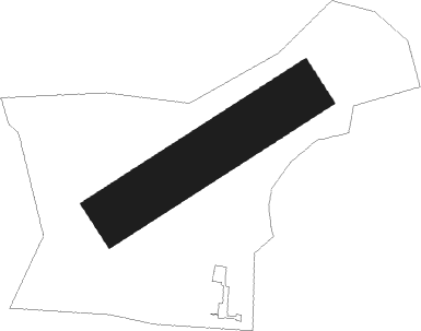
Zielona Góra - Przylep
Airport details
| Country | Poland |
| State | Lubusz Voivodeship |
| Region | EP |
| Airspace | Warsaw Ctr |
| Municipality | Zielona Góra |
| Elevation | 250ft (76m) |
| Timezone | GMT +1 |
| Coordinates | 51.97894, 15.46382 |
| Magnetic var | |
| Type | land |
| Available since | X-Plane v10.40 |
| ICAO code | EPZP |
| IATA code | n/a |
| FAA code | n/a |
Communication
| Przylep PRZYLEP RADIO | 122.800 |
Nearby Points of Interest:
Kościół ewangelicki w Czerwieńsku
-Sosna Rzepicha
-Sulechów Town Hall
-Zbór kalwiński w Sulechowie
-Water tower in Sulechów
-Church of the Assumption in Trzebiechów
-Saint Thérèse of Lisieux church in Bojadła
-Krosno Odrzańskie Castle
-Nowa Sól town hall
-6 Wróblewskiego Street in Nowa Sól
-Kożuchów Palace
-Kożuchów Town Hall
-Mury obronne w Kożuchowie
-Saints Peter and Paul church in Bytnica
-Kargowa town hall
-Kościół św. Maksymiliana Marii Kolbe w Kargowej
-Kościół ewangelicki, ob. rzym.-kat. Serca Jezusowego
-Kościół św. Anny w Konotopie
-Town hall in Świebodzin
-Palace in Stypułów
-Palace in Ojerzyce
-Kościół poewangelicki w Kopanicy
-Saint John the Baptist church in Kolsko
-Palace in Jelenin Górny
-Palace in Toporów
Nearby beacons
| code | identifier | dist | bearing | frequency |
|---|---|---|---|---|
| ZLG | ZIELONA GORA VOR/DME | 15.7 | 64° | 110.65 |
| DRE | DME | 52.1 | 24° | 115.30 |
Disclaimer
The information on this website is not for real aviation. Use this data with the X-Plane flight simulator only! Data taken with kind consent from X-Plane 12 source code and data files. Content is subject to change without notice.