Letterkenny
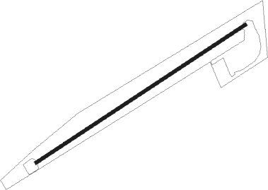
Airport details
| Country | Ireland |
| State | County Donegal |
| Region | EI |
| Airspace | Shannon Ctr |
| Municipality | Letterkenny |
| Elevation | 20ft (6m) |
| Timezone | GMT +0 |
| Coordinates | 54.95133, -7.67200 |
| Magnetic var | |
| Type | land |
| Available since | X-Plane v10.40 |
| ICAO code | EILT |
| IATA code | LTR |
| FAA code | n/a |
Communication
Nearby Points of Interest:
Guildhall, Derry
-Sperrins
Nearby beacons
| code | identifier | dist | bearing | frequency |
|---|---|---|---|---|
| EGT | LONDONDERRY NDB | 18.6 | 80° | 328 |
| CFN | DONEGAL NDB | 23.6 | 278° | 361 |
| SLG | DME | 51.6 | 234° | 109 |
| SLG | SLIGO NDB | 51.7 | 234° | 384 |
Disclaimer
The information on this website is not for real aviation. Use this data with the X-Plane flight simulator only! Data taken with kind consent from X-Plane 12 source code and data files. Content is subject to change without notice.