Spalding - Fenland
Airport details
| Country | United Kingdom |
| State | England |
| Region | EG |
| Airspace | London Ctr |
| Municipality | South Holland |
| Elevation | 6ft (2m) |
| Timezone | GMT +0 |
| Coordinates | 52.73944, -0.03000 |
| Magnetic var | |
| Type | land |
| Available since | X-Plane v10.40 |
| ICAO code | EGCL |
| IATA code | n/a |
| FAA code | n/a |
Communication
Nearby Points of Interest:
Spalding War Memorial
-Leverington Hall
-Ingleborough Tower Windmill
-Old Town Hall
-Crosskeys Bridge
-Adventurers' Land
-West Bank Lighthouse
-East Bank Lighthouse
-Town Hall
-The Old King's Head
-Woodcroft Castle
-Peterscourt
-Old Guild Hall
-Bourne Castle
-Thorpe Hall
-Dowsby Hall
-Milton Hall
-Sempringham Priory
-Ufford Hall
-The Wash
-Clifton House
-Thoresby College
-Southorpe Meadow
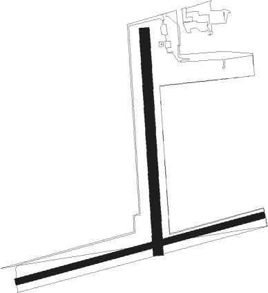
Runway info
Runway 18 / 36  | ||
| length | 643m (2110ft) | |
| bearing | 181° / 1° | |
| width | 30m (98ft) | |
| surface | grass | |
| displ threshold | 103m (338ft) / 20m (66ft) | |
| Runway 08 / 26 | ||
| length | 745m (2444ft) | |
| bearing | 84° / 264° | |
| width | 18m (59ft) | |
| surface | grass | |
Nearby beacons
| code | identifier | dist | bearing | frequency |
|---|---|---|---|---|
| WIT | WITTERING TACAN | 18.8 | 254° | 117.60 |
| CGY | CONINGSBY TACAN | 21.7 | 338° | 111.10 |
| MAM | MARHAM TACAN | 22.2 | 99° | 108.70 |
| CWL | CRANWELL NDB | 23.9 | 302° | 423 |
| CWZ | CRANWELL TACAN | 23.9 | 302° | 117.40 |
| LKH | LAKENHEATH TACAN | 29 | 120° | 110.20 |
| MLD | MILDENHALL TACAN | 29.4 | 126° | 115.90 |
| WAD | WADDINGTON TACAN | 31.2 | 311° | 117.10 |
| CAM | CAMBRIDGE NDB | 32.6 | 158° | 332 |
| CIT | CRANFIELD NDB | 41.3 | 221° | 850 |
| BKY | BARKWAY VOR/DME | 45.1 | 173° | 116.25 |
| GAM | GAMSTON VOR/DME | 46.4 | 301° | 112.80 |
| LUT | LUTON NDB | 51.3 | 195° | 345 |
| WTZ | WATTISHAM TACAN | 51.3 | 122° | 109.30 |
| KIM | HUMBERSIDE NDB | 51.4 | 339° | 365 |
| FNY | DONCASTER SHEFFIELD NDB | 56.3 | 307° | 338 |
| OTR | OTTRINGHAM VOR/DME | 57.6 | 356° | 113.90 |
| BPK | BROOKMANS PARK VOR/DME | 59.5 | 184° | 117.50 |
| WCO | WESTCOTT NDB | 63.3 | 226° | 335 |
| HEN | HENTON NDB | 65.1 | 218° | 433 |
Disclaimer
The information on this website is not for real aviation. Use this data with the X-Plane flight simulator only! Data taken with kind consent from X-Plane 12 source code and data files. Content is subject to change without notice.